
Identify surface features
In this module you will learn how snow cover and snow water equivalent are determined by satellite instruments and how this data can be applied for regional climate studies.
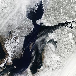
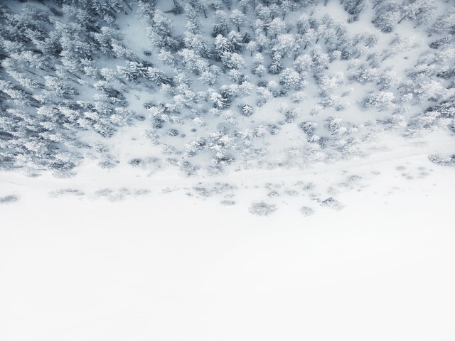
Snow cover is an important climate variable on both local and global scales. It affects the planetary radiation budget through high albedo values. It influences the hydrological cycle globally and locally, and for many locations it is an important source of water. In this module you will learn how snow cover and snow water equivalent are determined by satellite instruments and how this data can be applied for regional climate studies.
An intensive training module on the operational use of RGBs in the forecasting room.
The new generation satellite data contains more and more information offering increased insight into cloud and air mass characteristics. This poses a challenge: figuring out how to extract, distill and package the data into products that are easy for forecasters to interpret and use.
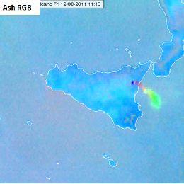
One might create numerous different kinds of RGB images. Satellite experts developed some optimally tuned RGB types for highlighting specific features. These are the so called standard RGBs recommended by EUMETSAT. The advantage of using standard RGBs is their easy comparability.
The aim of creating RGBs is to provide fast, easily understandable VISUAL information. A 'good' RGB should convey information that would be difficult or time consuming to assess visually from one or more individual single channel images. RGB image should be unambiguous and use intuitive colours to help highlighting important meteorological and surface features. RGBs provide useful information to forecasters, in particular when looking at animated image sequences. They preserve the "natural" look-and-feel of "traditional" satellite images, e.g. they preserve texture, and the patterns are continuous in time.
In this module you will learn more about the EUMETSAT standard RGBs: HRV Fog RGB, Snow RGB, Night Microphysics RGB and the Ash RGB.
Presentation 4 the Environment Event Week 2016
Length: 30 min
Author: Stefan Schneider (ZAMG)
Droughts are one of the most severe natural hazards with regard to affected people, spatio-temporal extension and economic losses. At the same time, population growth is expected to put global agricultural production under increasing pressure. Thus, drought monitoring and forecasting systems would be essential for large parts of the globe, and satellites are a valuable data source to establish such monitoring systems.
The presentation will give examples on the relevant parameters measured by satellites, whereas the focus will be on soil moisture. Furthermore, the combination of satellite measurements and model forecasts will be described to point out the state-of-the-art possibilities in forecasting drought events. Examples from an existing system will be presented for the region of Eastern Africa.
Presentation 6 in the Environment Event Week 2016
Length: 30 min
Author: Mike Fromm (NRL)
Pyroconvection is not a new concept. However, the idea that pyroconvection can be explosive enough to inject a smoke plume into the stratosphere that pollutes hemispherically, goes against the grain of textbook atmospheric physics. Since the discovery of forest fire smoke in the stratosphere, skepticism has given way to acceptance, understanding, excitement, and wonder. That is because pyrocumulonimbus (pyroCb for short) research continues to make more discoveries, involve growing collaborations, and invite new questions.
This presentation will be an overview of pyroCb research. It will focus on observations from satellite sensors. Emphasis will be on platforms such as MODIS, AVHRR, GOES, TOMS, OMI, GOME 2, and CALIPSO. Also to be explored will be the curious historic connection between pyroCb and volcanic eruptions.
Presentation 7 in the Environment Event Week 2016
Length: 50 min
Author: Mike Willmott (BOM)
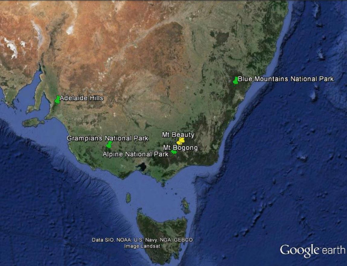
Apart from the central desert areas, the Australian landscape, from the tropics of Far North Queensland to the southern tip of Tasmania has climatic conditions and vegetation which are conducive to wildfires throughout the year. The most volatile of these areas being the south eastern parts of Australia which includes the states of South Australia, Victoria, New South Wales and Tasmania. Australia has large tracts of wilderness which can only be monitored by aircraft and satellite and as such, remote sensing for bushfires within the landscape is virtually mandatory throughout the dry season in the tropics and the summer periods for the southern states. This talk looks at some of the ways that Satellite Remote Sensing has assisted emergency managers for preparedness, response and recovery, the three most important factors for any emergency operation.
Presentation 10 in the Environment Event Week 2016
Length: 30 min
Author: Jose Prieto (EUMETSAT)
Not only smoke tells you where the fire is. Small active fires 20 meters across, a minute fraction of the pixel size, are sensed by Meteosat from its lofty orbit. We explain how to spot them without burning your fingers. Thresholds, channels and future composite products might ignite your interest.
Presentation 11 in the Environment Event Week 2016
Length: 30 min
Author: Lee-Ann Simpson (SAWS)
South Africa is by nature a dry country, which has very short wet periods, mainly confined to the coastal areas and eastern half of the country. During the dry season, the hot, windy conditions result in a favourable environment for fires to spread uncontrollably and cause large scale damage to the local vegetation and to infrastructure. To be able to anticipate and forecast the risk of runaway fires in South Africa, a forecaster needs to have many sources of information, ranging from precipitation amounts to an understanding of the local vegetation. The inclusion of satellite imagery interpretation is an invaluable part of the forecasting process and the monitoring of fires can be done accurately and on a 24hour basis. This presentation will outline the risk the fires pose within South Africa and our forecasting processes dealing with this environmental hazard.
Jose Prieto talks about solar channels, how to use them, what are the differences and where they are used for.
Length: 67 minutes
Author: Jose Prieto
In the session Jose talks generally about the solar channels, how to use them, what are the differences and where they are used. Later on the talk is about monitoring the vegetation and soil properties using the available solar and near-infrared channels. The presentation ends with examples of products for detecting dust and smoke.
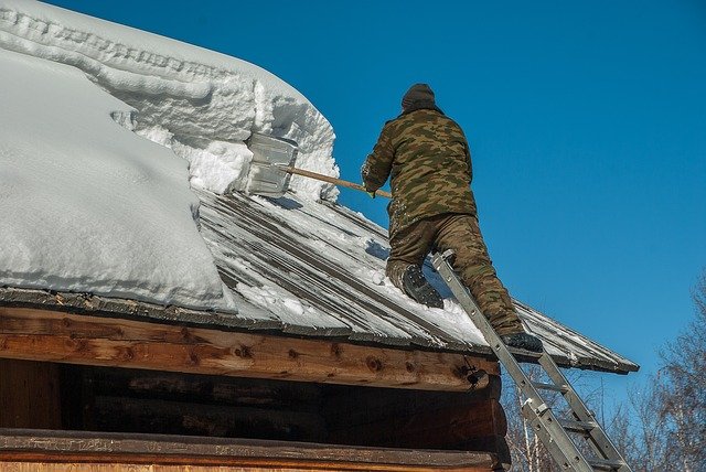
Michael Winkler puts heavily burdened roofs in the spotlight by presenting recent efforts in updating the Austrian snow load standard and showing an actual example of snow load monitoring and hazard management.
Snowy winters lead to heavy snow loads on buildings and constructions. Surprisingly often, the snow load assessment basis of international and national standards are regionally reached or exceeded. Damages or even collapses do occur, cause expenses and threaten human lives. However, extreme snow loads only rarely are considered as natural hazards. This talk puts heavily burdened roofs in the spotlight by presenting recent efforts in updating the Austrian snow load standard and showing an actual example of snow load monitoring and hazard management.
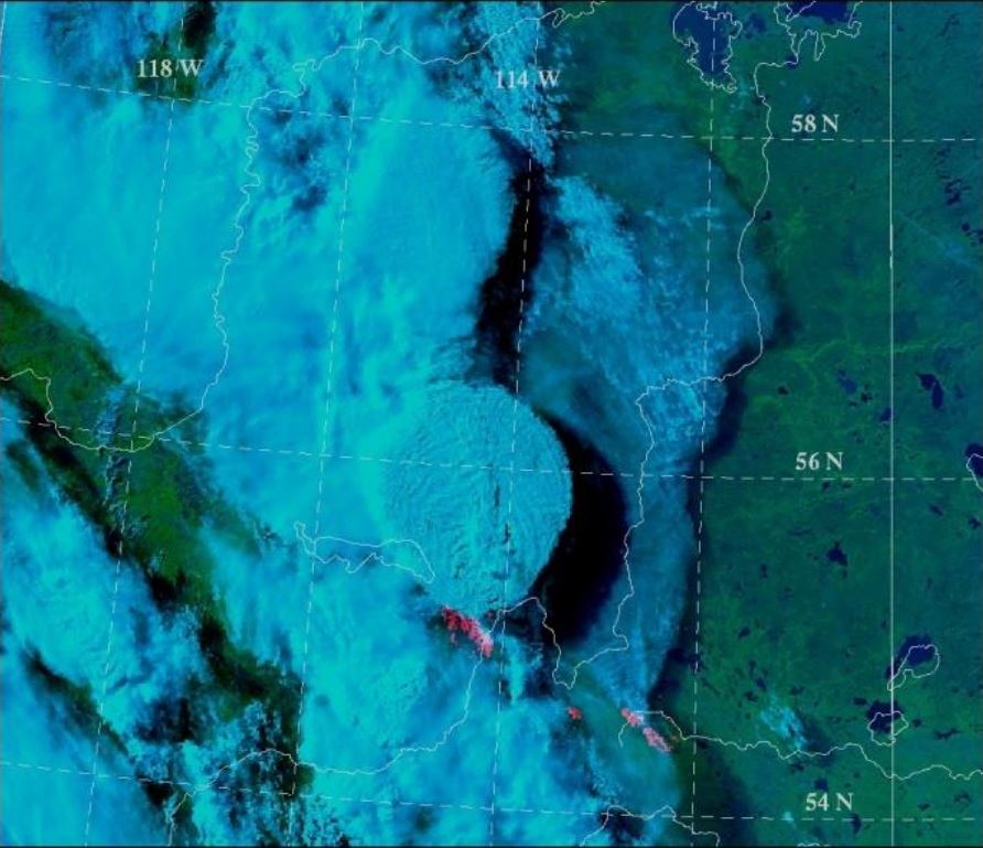
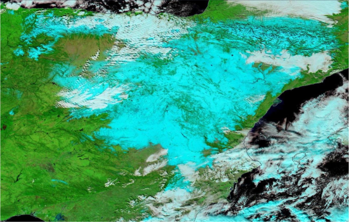
Gaëlle Kerdraon presents the algorithm of snow/ice detection in the cloud mask and cloud type products of the NWC-SAF and shows some examples.
The first step of the cloud detection during day, is the snow/ice detection on the ground or at the sea surface. The talk will give details of the flag snow/ice in the cloud mask and in the cloud type. The algorithm will then be presented and illustrated by a recent example. The importance of this snow/ice detection will be pointed out for a good cloud detection. Finally, we will explain the limitations of this flag snow/ice.
Roland Winkler talks about rules and regulations that are in place at airports to provide passenger security in harsh winter weather.
The weather still has a major impact on aviation today. Weather forecasts in aviation not only support safety, but also provide important input on the subject of economical air traffic. As part of this presentation, I would like to give a rough overview of how air traffic works in the cold season. I will speak about de- and anti-icing of aircraft and the snow removal in the airside area. Finally, I will show which meteorological products are created to support safe and economical air traffic.
Ivan Smiljanić talks about the future possibilities detecting snow and ice from MTG data.
Detection of snow, but also its classification (depth, crystal size, age) depends mostly on the spectral and spatial resolution of geostationary satellites. Having better spatial resolution and more spectral channels, Meteosat Third Generation satellites (MTG) will be able to see snow better and tell more about its flavours, especially in the visible and near-IR spectral regions. Join if you are interested to know how the snow detection will be done with MTG and what is "the colour of the snow" with future data.