

Boštjan Muri introduces LSA SAF vegetation and fire products through different showcases and presents a Jupyter notebook exercise on accessing and understanding the Fire Radiating Power (FRP) data.
Meteorological Satellite Data Training
Explore a collection of product tutorials, case studies, simulators, training modules & courses
on the use of satellite data for meteorological
applications & more.
Latest News
Advanced Satellite Course 2026: Blended Training from 16 November to 11 December
Deepen your specialist knowledge in satellite meteorology through a course designed for experienced forecasters in aviation and general meteorology.
Open the invitation letter here.
Registrations are now over.

Watch the Recordings from the EUMeTrain Forest Fires Event Week!
From 1 to 3 June 2026, EUMeTrain organised a satellite training event week on forest fires. The programme featured plenary, showcase and practical sessions delivered by numerous experts in the field.
Check out the recordings and additional materials here.

New training module is now available!
A new training module on Atmospheric Rivers is available here.
New training module is now available!
New module about Challenges of Using Geostationary Satellite Data in High-Latitude regions is now available here.
Winter simulator over Hungary
A new simulator is now available! Winter weather simulator over Hungary can now be accessed here.
Latest Publications
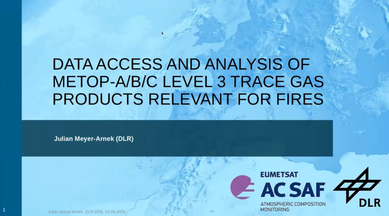
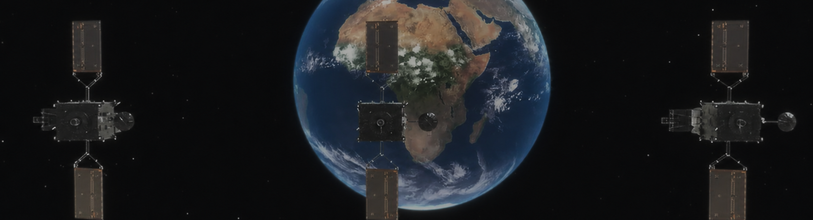
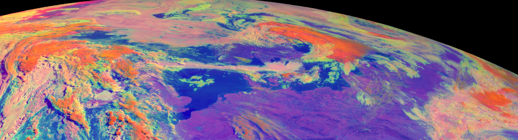
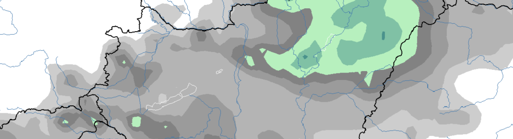
Julian Meyer-Arnek, by using the wildfire example, explains how to access atmospheric data and analyse it with SpatioTemporal Asset Catalogue (STAC) and Jupyter Notebooks.
Categories:
Webcast
Maria Putsay discusses convective clouds that form over wildfires, focusing on Pyrocumulonimbus clouds and their detection in satellite imagery.
Categories:
Webcast
Pedro Venâncio introduces the Portuguese Rural Fire Information System (SIFOR) and demonstrates how the GeoSIFOR WebGIS enables users to easily access, visualise and interpret available data.
Categories:
Webcast