Martin
Analysis of Martin from satellite features
|
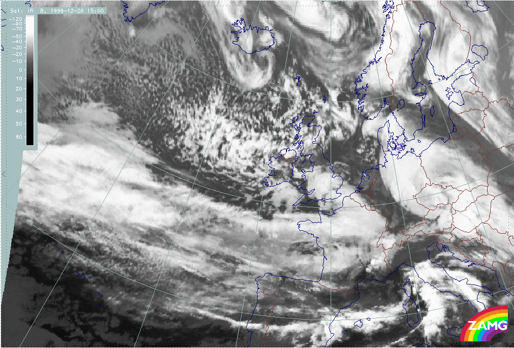
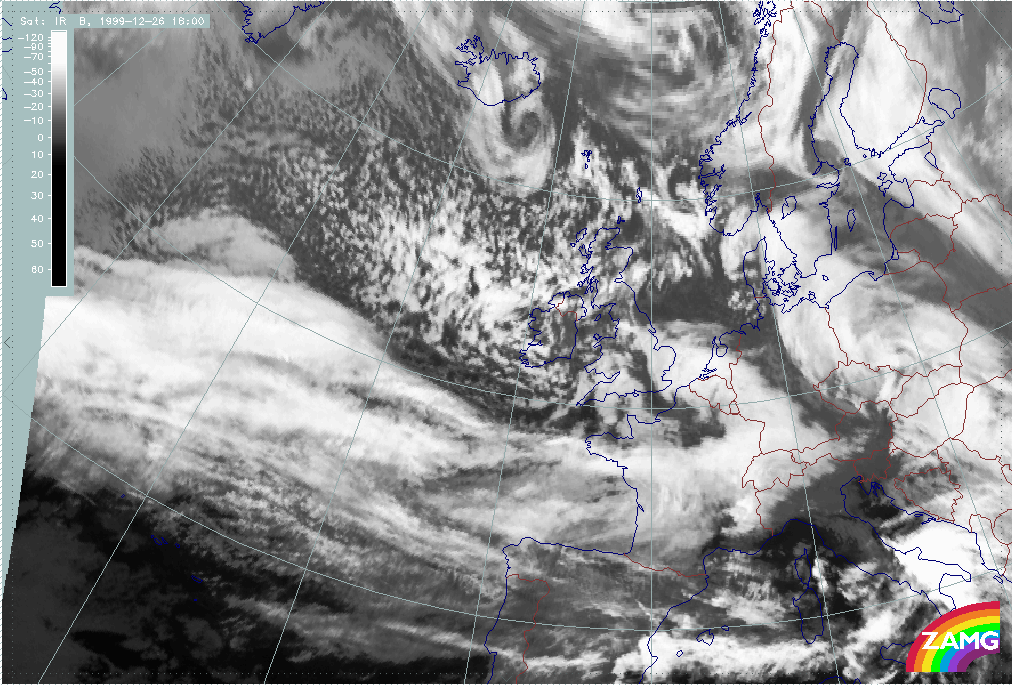
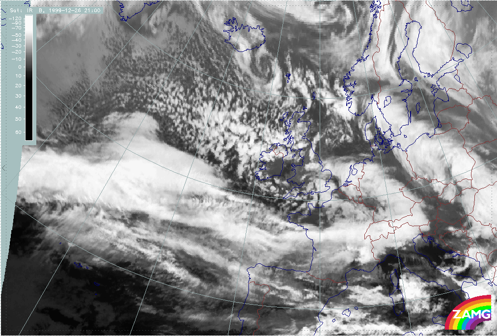
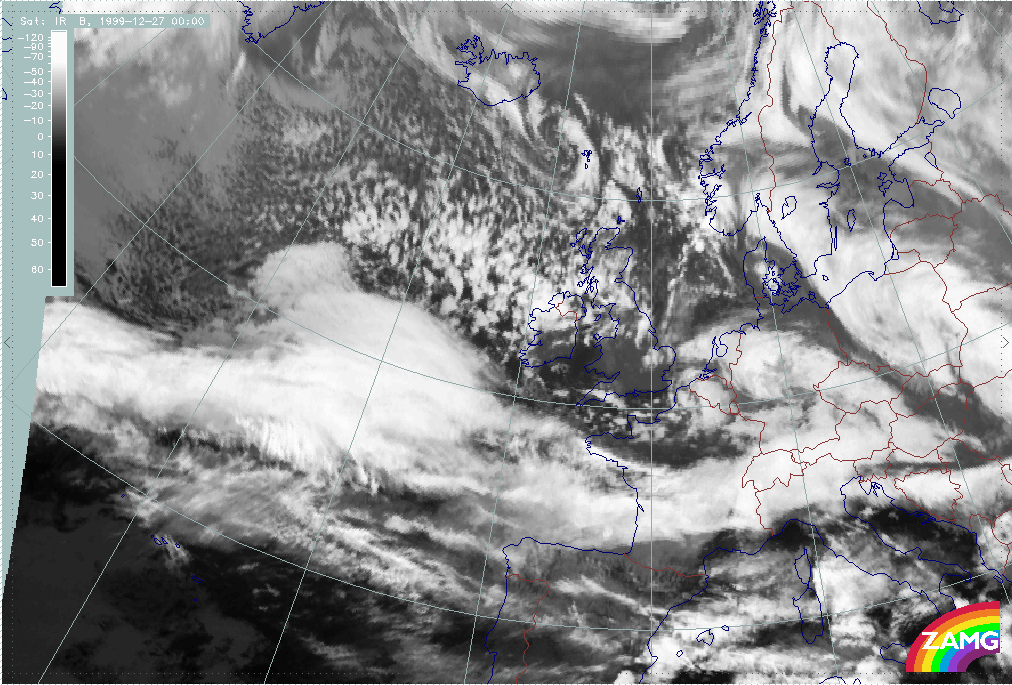
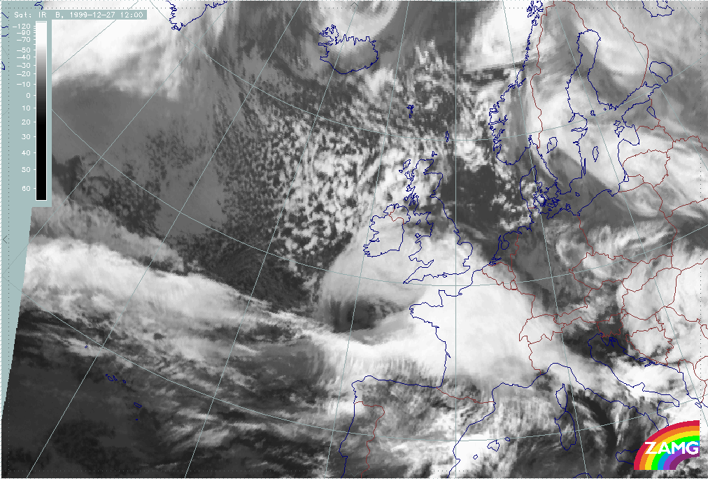
26 December 1999/12.00 UTC - Meteosat IR image; 26/12.00 - 27/18.00 UTC 3-hourly image loop
|
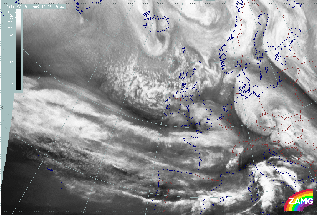
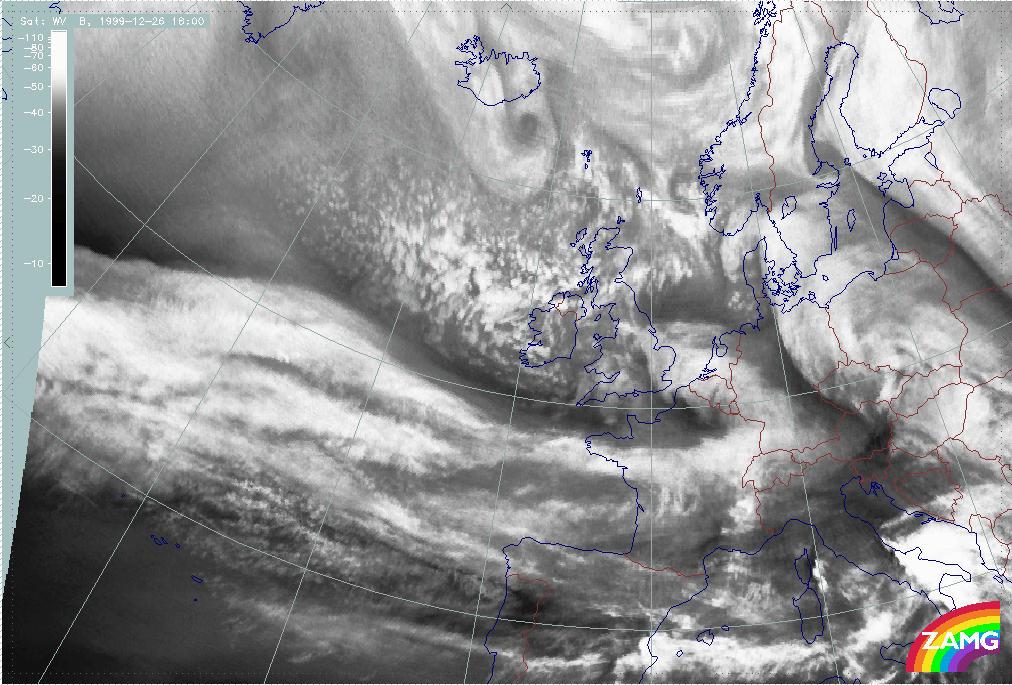
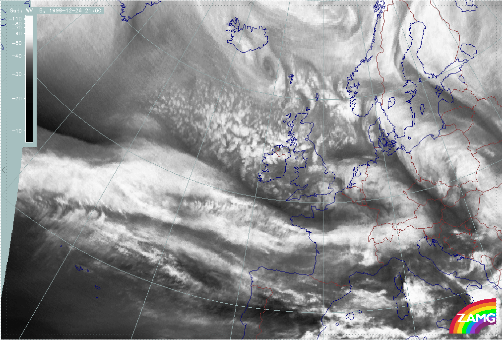
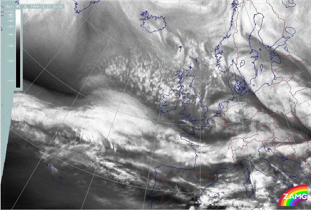
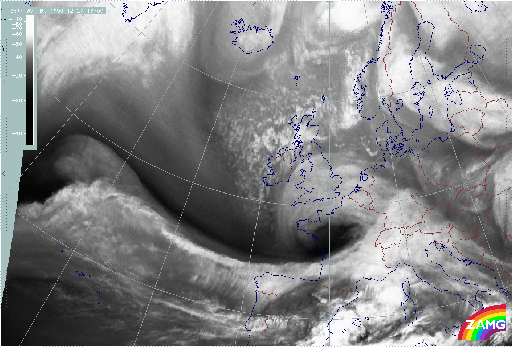
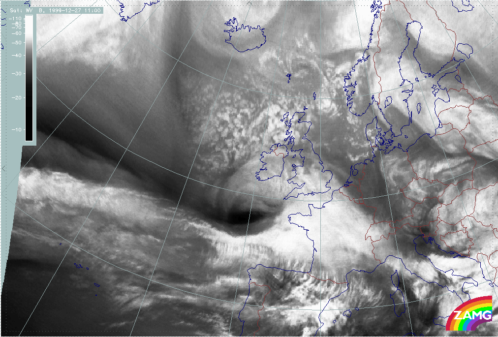
26 December 1999/12.00 UTC - Meteosat WV image; 26/12.00 - 27/18.00 UTC 3-hourly image loop
|
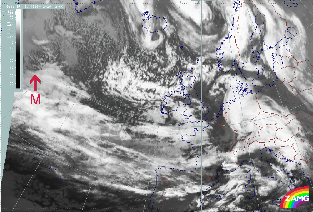
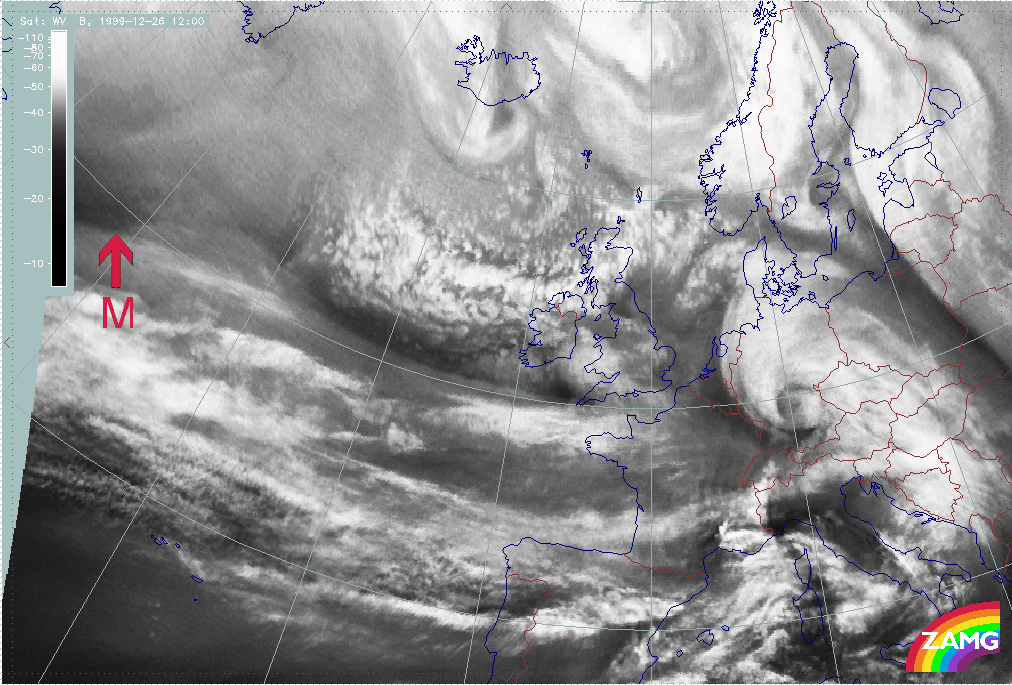
Summary of typical and important features for Martin:
- The development of Martin appears within the same broad frontal cloud band as Lothar and Lothar successor;
- A "cloud head" exists from the very beginning: this is a lower cloud part penetrating below the zonal front band in the direction of the cold air. This is not yet the typical pronounced cloud head of "Rapid Cyclogenesis" in its mature stage of development but it does indicate possible areas for a Wave and a later development;
- The WV image shows a Dark Stripe to the rear of and along the broad frontal cloud;
- Such a situation can last some time till the "Rapid Cyclogenesis" development starts;
- In the case of Martin, there is a splitting of the "low cloud shield" at the western boundary leading to an independent cold air cloud like an EC or Comma, probably maintained by a PVA maximum ahead of an upper level trough (rather similar to Lothar and Lothar successor).
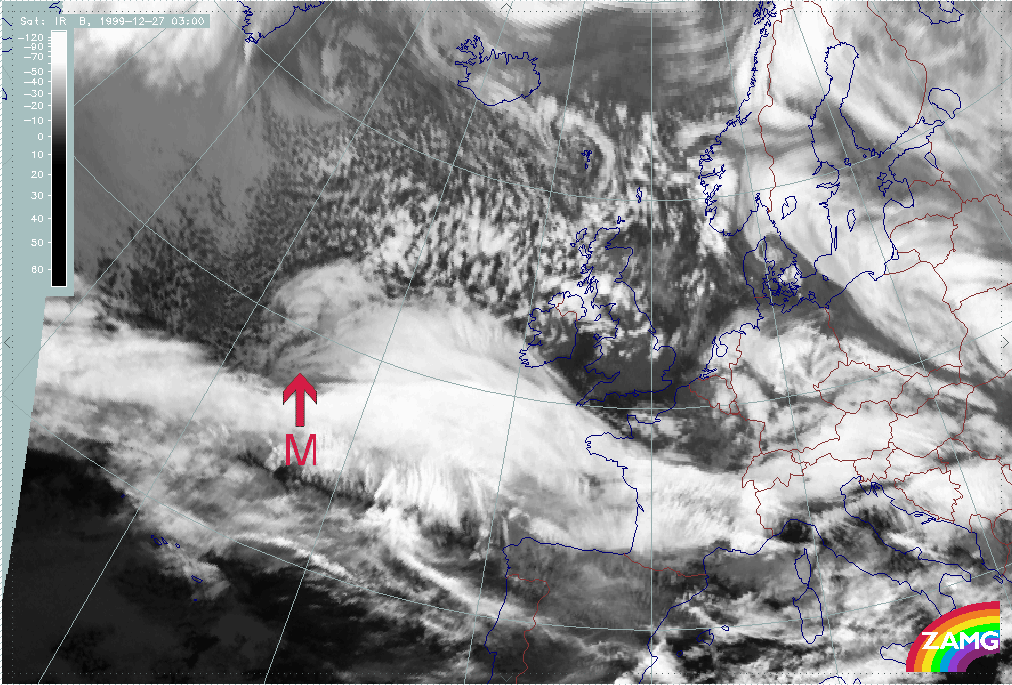
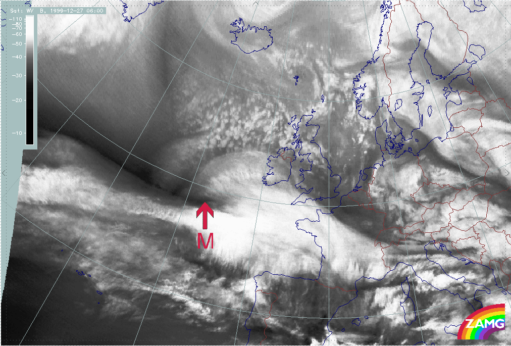
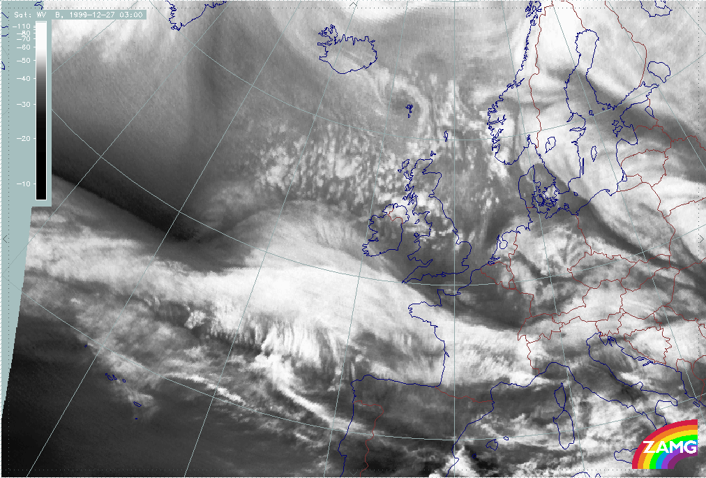
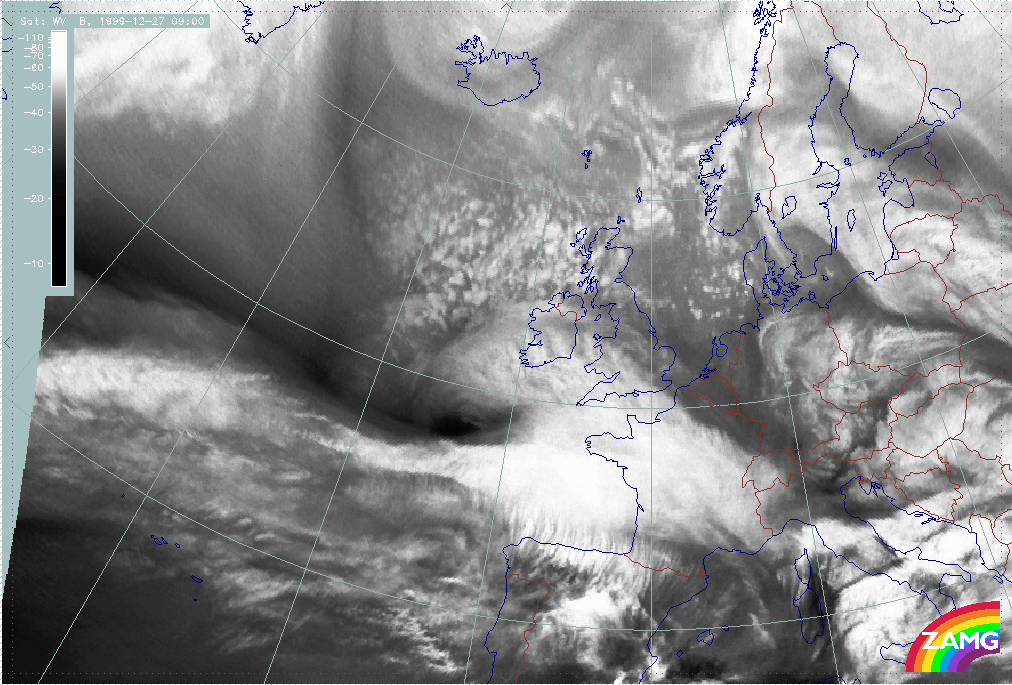
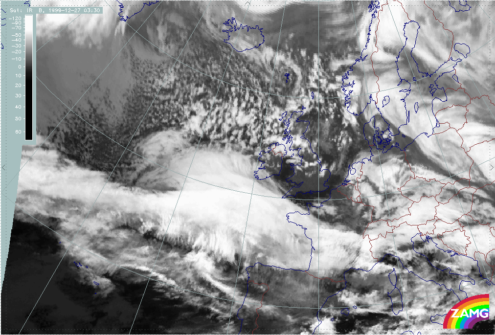
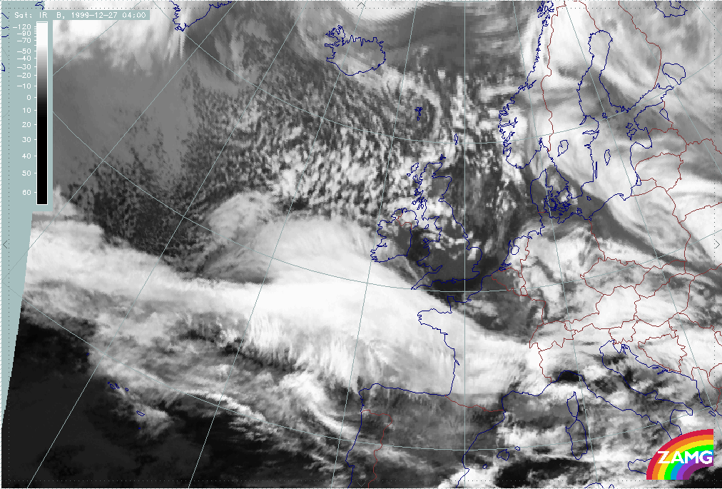
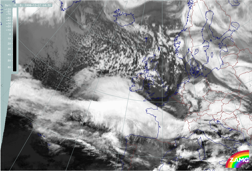
The two 1/2 hourly image loops below show the period where the fast development takes place:
|
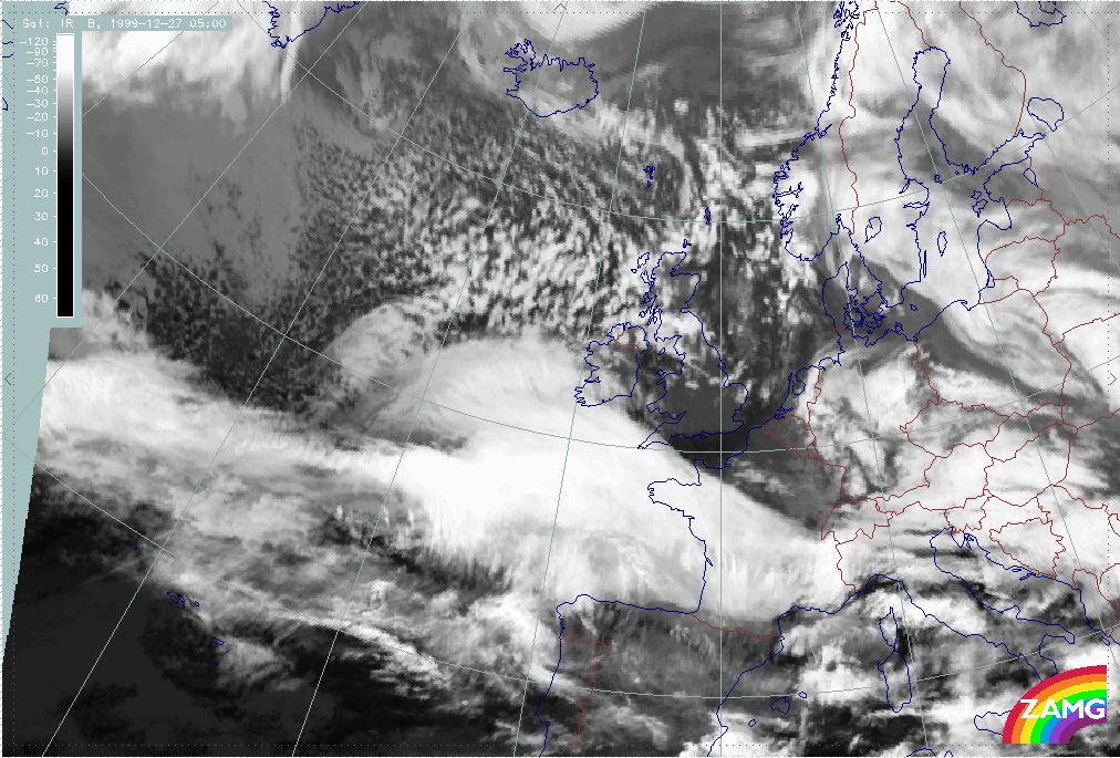
27 December 1999/03.00 UTC - Meteosat IR image; 03.00 - 06.00 UTC half-hourly image loop
|
|
|
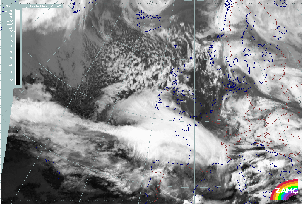
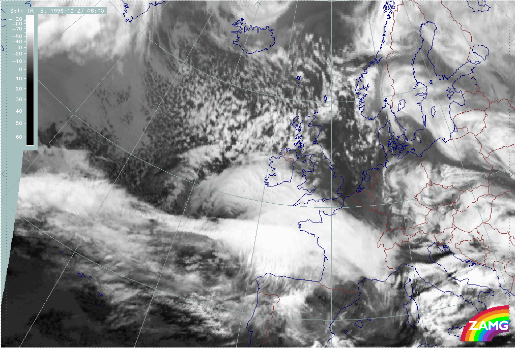
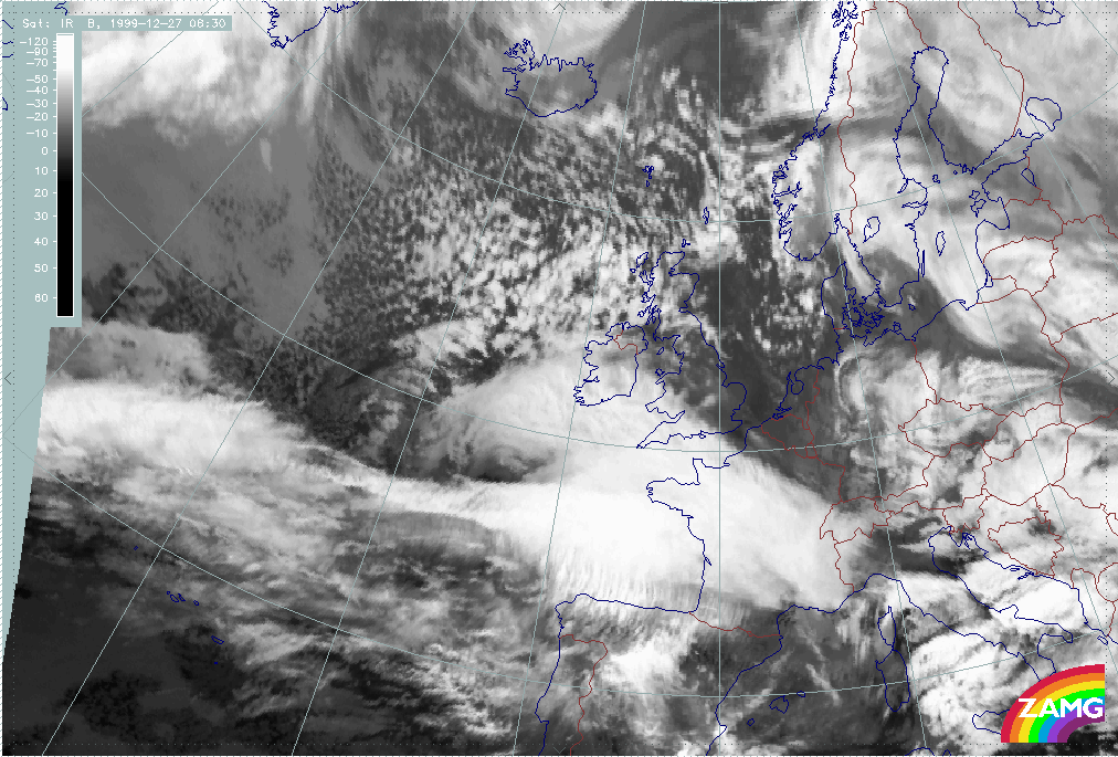
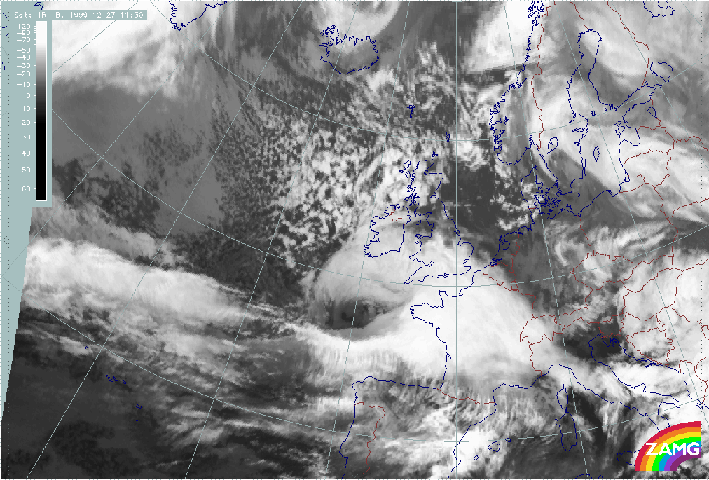
27 December 1999/06.00 UTC - Meteosat IR image; 06.00 - 11.30 UTC half-hourly image loop
|
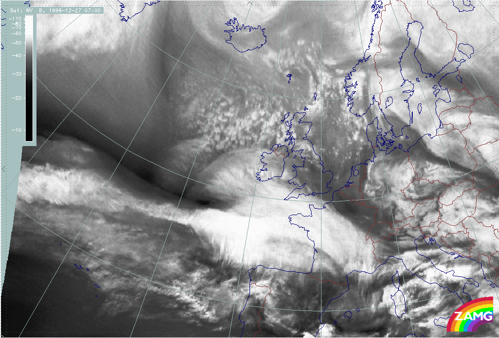
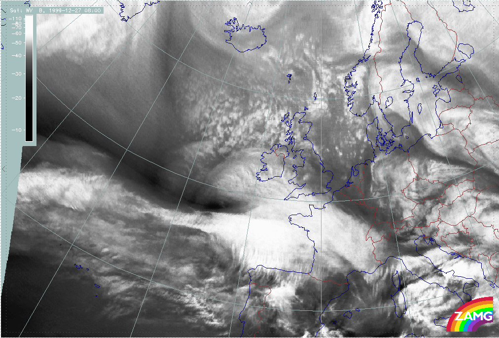
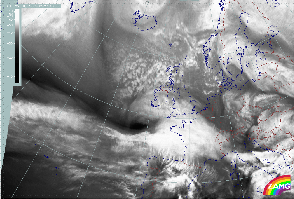
27 December 1999/06.00 UTC - Meteosat WV image; 06.00 - 11.00 UTC hourly image loop
|

- During rapid development there is:
- A rapid development of an intense Dark Stripe between the zonal cloud band and the cloud head within a time scale of about 6 hours in both: IR and WV;
- A fast and pronounced intensification of a cloud head;
- A subsequent development of a pronounced cloud spiral containing an increasing very dark area in the WV image.
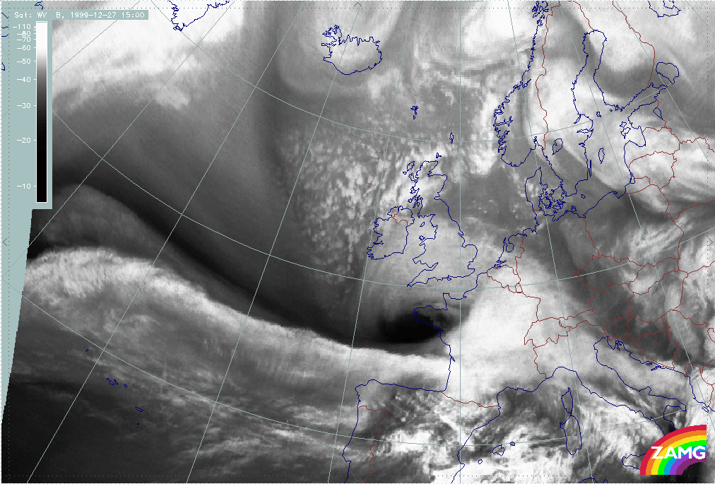
- Further development shows:
- Cloud in the innermost part of the low (at very small scale) rotates several times around the centre which is an indication of very high wind speed (similar to tropical storms); this is not as pronounced as for Lothar and can be seen only in the low cloud;
- A Comma - like, small to mesoscale line of cells develops near the centre of the surface low; again, this is not as distinct as for Lothar.