Forecast of severe outflow
The WRF forecasts predicted very strong, divergent outflow at the surface (Fig. 3.2), which is a typical characteristic of a downburst. The parameterization indicated gusts of up to 40 m/s (by 10 m model average winds exceeding 20 m/s). The center of the divergent winds is situated below or in the neighborhood of the strongest downdrafts, the maximum speed of which was about 8 m/s (not shown). This value is quite high at this resolution, at least compared to the forecasts of downdrafts in thunderstorm cells during average conditions (in which maximum velocity is usually 3-4 m/s). The downdraft speed in real conditions may have been higher.
The other reason for the intense outflow is the strong pressure gradient at low levels, which formed between the meso-low at the forward flank of the cell and the meso-high below the downdraft (indicated in Fig. 3.1).
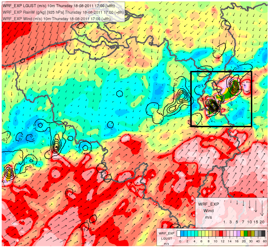
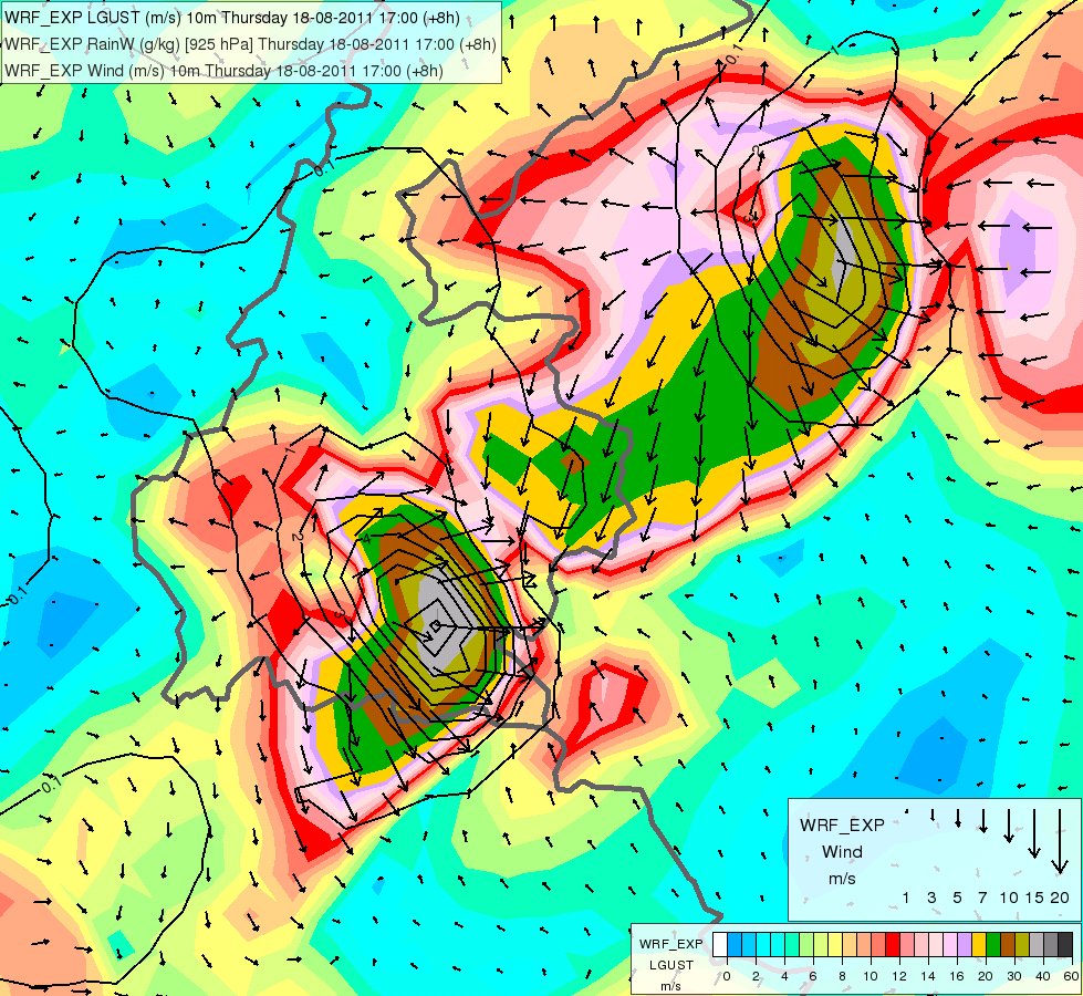
Fig. 3.2. WRF 8 h forecasts for 18 August 2011 17 UTC: wind gust-speed at 10 m (colors), rain water at 925 hPa (black lines) and wind vectors at 10 m. The zoomed area (rectangle) of the investigated cell is shown on the right of the image.