
Identify and interpret fields and derived products
Giulia Panegrossi presents the challenges and recent advancements in satellite-based snowfall quantification and global monitoring.
Length: 37 minutes
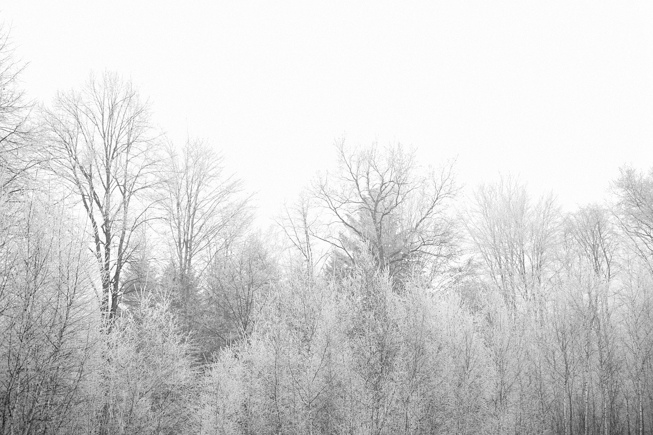
Snow plays an important role in the Earth energy exchange processes, and is a fundamental element of the water cycle. The use of satellites for snowfall monitoring and quantification and for retrieving snow cover properties and variability is necessary to globally quantify water resources. Satellite-based snowfall detection and surface snowfall rate estimation are becoming an increasingly popular topic within both the hydrological scientific community and operational services. Recent studies have evidenced how space borne multi-channel microwave (MW) radiometer measurements respond to both snowfall and snow cover properties. In this presentation the challenges and recent advancements in satellite-based snowfall quantification and global monitoring will be discussed, and the retrieval strategies that are being adopted within the EUMETSAT H SAF to improve detection and quantification of snowfall, with particular focus on higher latitudes, will be presented.
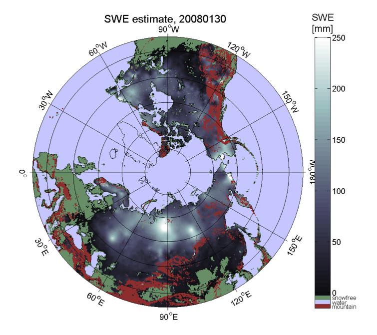
Kari Luojus shows the basic approach to apply passive microwave radiometer data for retrieval of terrestrial snow water equivalent.
The presentation shows the basic approach to apply passive microwave radiometer data for retrieval of terrestrial snow water equivalent. It describes the GlobSnowmethodology to combine satellite-based radiometer data with ground-based snow depth observations and a bias-correction approach to improve the satellite-based retrievals. It also presents the historical satellite-based reconstruction of Northern Hemisphere snow mass, from 1980 to present day (published on Nature, Pulliainen et al. 2020). Pulliainen, J., Luojus, K., Derksen, C. et al. Patterns and trends of Northern Hemisphe re snow mass from 1980 to 2018. Nature 581, 294–298 (2020). https://doi.org/10.1038/s41586-020-2258-0
Niilo Siljamo investigates the quality of H-SAF snow products.
H-SAF satellite snow extent products can be used for many meteorological and hydrological applications, for example as inputs for weather models. What are these products? How good are they? Especially, MSG/SEVIRI (H31) and Metop/AVHRR (H32) products are described with examples and validation results.
Steinar Eastwood presents the OSI-SAF products and shows climatological applications of the data.
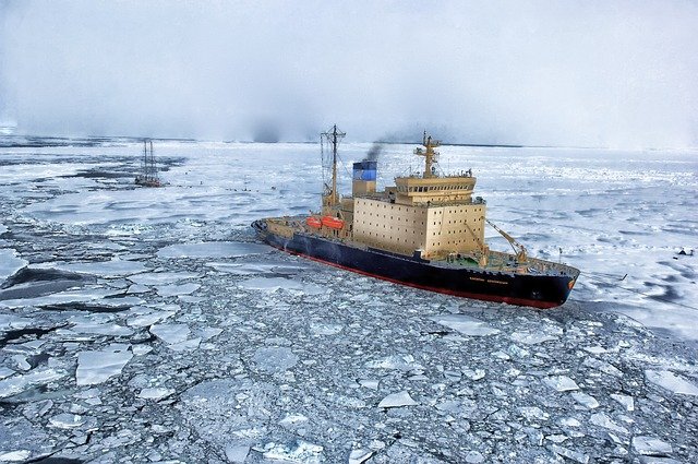
The sea ice products from the EUMETSAT Ocean and Sea Ice Satellite Application Facility are widely used. In this presentation the sea ice products will be presented and examples of use in operational numerical weather and ocean modelling will be given.
Mária Putsay discusses how single channels and RGB types can be effectively used for snow detection.
Single channels and RGB types will be discussed and compared from the snow detection point of view: how effectively they can be used for this purpose, which benefits and limitations they have. Physical background will be discussed and several examples will be shown.
Ideally an RGB type is usable for snow detection if the snow-covered cloud-free surface has good colour contrast against both now-free surface and clouds. Practically, one problem may cause difficulty: ice clouds and snowy land often appear similarly. Not surprising: their physical properties are similar as both consist of ice crystals. The presentation discusses which RGB types show snow and ice clouds less similarly. Forecasters usually look at animations, this also helps to distinguish snow covered area from moving ice clouds.