
Education & Training Providers
Listed here are other resources related to Education & Training Providers tag:
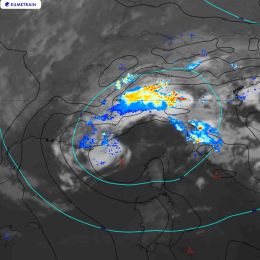
Note: click on an image to open the Resource
This document summarizes how to create a new RGB scheme and how to adapt an existing RGB for a new imager.
RGB images can be composed in many different ways. To avoid ambiguity and incorrect interpretations, WMO and EUMETSAT work to standardize the RGB images used by weather forecasters. Experts develop optimized methods to create RGB images that provide high quality visual information about specific features. The use of these standard RGBs helps meteorologists easily understand each other. The standard RGBs have schemes, or recipes, describing how to create them.

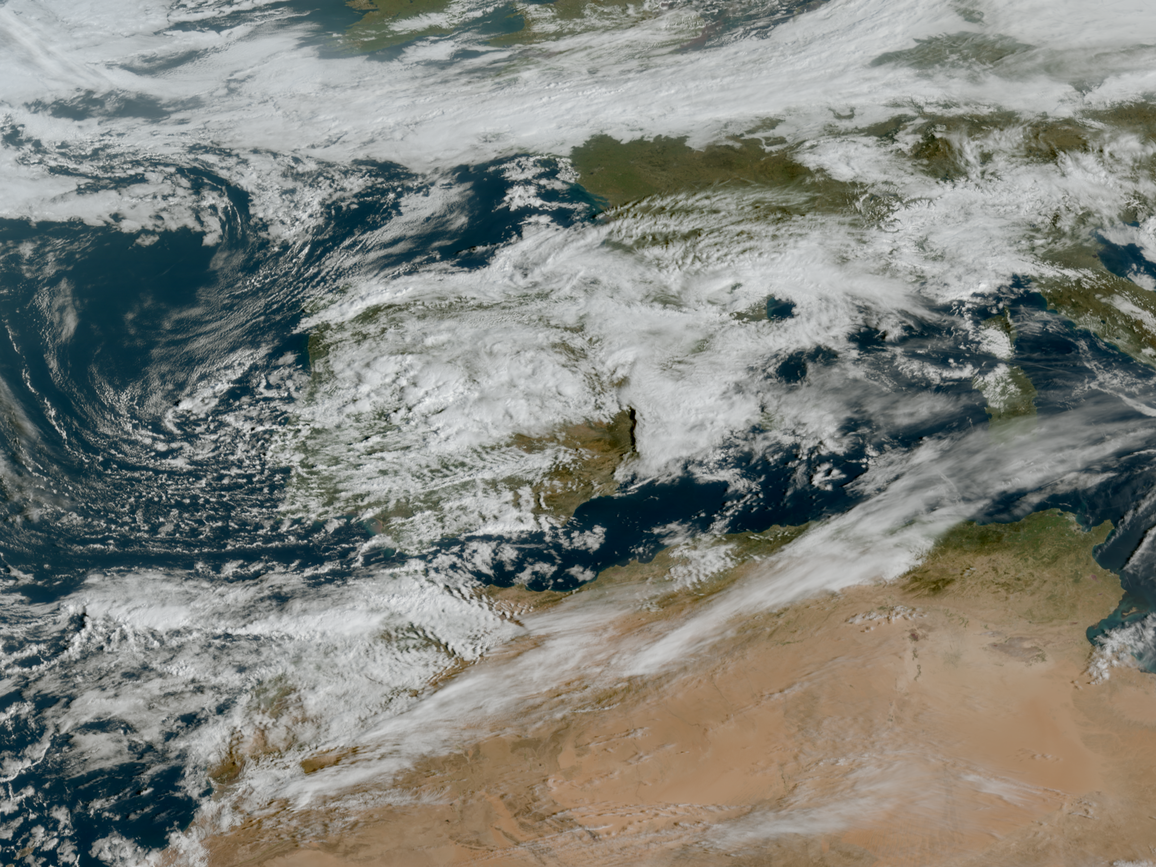
This guide is about the Cloud Type RGB, a new product for European users of GEO satellite data, which can be constructed using data from the Flexible Combined Imager (FCI) on the Meteosat Third Generation (MTG) satellite system. It uses one of the new FCI channels.
At the time the guide was created, FCI was not yet operational, so the characteristics of the FCI Cloud Type RGB were tested using preliminary commissioning data. Similar features were found as with the proxy data. Some examples created from the FCI preliminary commissioning data are presented in this guide.
The main application areas of the Cloud Type RGB are detection of very thin cirrus and higher-level aerosol clouds, and visual differentiation of cloud types, with some limitations. It can also provide some information about areas with dry airmasses.
On 1 February 2024 H SAF held a webinar on the new Moodle e-learning platform.
On 1 February 2024 H SAF held a webinar on the new Moodle e-learning platform. Details about the platform were presented as well as case studies on soil moisture, snow and precipitation.
Go to webinar
Carla Barroso talks about the EUMETSAT Jupyter Notebooks for MTG and how to use them.
To prepare users for the data from the MTG (Meteosat Third Generation) mission instruments, in particular the Flexible Combined Imager (FCI) and the Lightning Imager (LI), EUMETSAT has developed a series of Jupyter notebooks designed to demonstrate the capabilities of MTG instruments for weather applications. Some of these notebooks use proxy data from sources such as MODIS and GLM to allow users to familiarise themselves with the expected capabilities of MTG instruments, and there is a specific notebook focused on familiarising users with the FCI data format. These notebooks are available in the EUMETSAT GitLab repository https://gitlab.eumetsat.int/.
Lecture slides
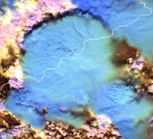
Cloud Phase RGB is a new product for European users of GEO satellite data, which can be constructed using data from the Flexible Combined Imager (FCI) on the Meteosat Third Generation (MTG) satellite system. The aim of this RGB is to provide improved microphysical information on cloud tops, in particular discrimination between thick water clouds and thick ice clouds, and cloud top particle size.
This extended guide is about the Cloud Phase RGB, a new product for European users of GEO satellite data, which can be constructed using data from the Flexible Combined Imager (FCI) on the Meteosat Third Generation (MTG) satellite system. It uses one of the new FCI channels, not available with the SEVIRI instrument. This document is an extended guide discussing its characteristics in detail; a quick guide is also available on the EUMeTrain webpage. In this guide, the imagers of Japanese and American geostationary satellites (Himawari/AHI and GOES/ABI) and polar satellites (NPP and NOAA-20/VIIRS) are used to provide proxy data for the FCI.
Learn how to distinguish between natural and human modified areas.
In this module you will be able to identify geographical features and surface characteristics and conditions through images and satellite products. Although surface features are not the main purpose of meteorological forecasting, being able to identify and distinguish them from atmospheric features can be useful.
To access the resource click here.
In this Training Module you will learn more about the genesis and the development of cyclones at the downwind side of the Alps.
This training module treats the developement of cyclones at the downwind side of a mountain range with a special focus on the Alps. The module deals with the physical facts that lead to the creation of a lee cyclone, from its very beginning as a low-level vortex in the vicinity of a mountain range until its final stage as a mesoscale cyclone. The module tries to give an answer, why some of the lee vortices never develop into a full-grown cyclone and instead remain a local wind phenomenon or at best a low-level vortex that soon dissipates when leaving the downwind area by looking at the triggers that form cyclones. Local winds like the Bora and the Mistral are often linked to Lee Cyclogenesis in the Gulf of Genua. They will be treated at the end of the module.