
Satellite skills and knowledge for operational meteorologist
Listed here are other resources related to Satellite skills and knowledge for operational meteorologist tag:
Note: click on an image to open the Resource
Francesca Di Giuseppe discusses ECMWF fire prediction systems and the advantages of SPARKY, a new data-driven system for predicting fire activity and burned area.
Traditional fire danger indices estimate environmental conditions conducive to fire but do not directly predict when and where fires will occur. This presentation introduces a shift toward fire activity forecasting, using data-driven approaches that integrate weather, fuel conditions, and ignition sources. By leveraging machine learning and Earth observation data, these systems provide probabilistic forecasts of actual fire occurrence and spread. The approach improves early warning capabilities, reduces false alarms in fuel-limited regions, and offers actionable information for fire management, supporting more effective preparedness, response, and long-term risk mitigation strategies.
Ivan Smiljanić presents the evolution of RGB composites used for fire detection, with a final focus on the MTG Day Land Cloud Fire RGB composite and its advantages.
The Day Land Cloud/Fire RGB (full name) is a composite designed to enhance the detection of surface features and clouds, in addition to wildfires. Compared to other fire-focused composites, it provides a more balanced depiction of smoke, vegetation, and burn scars in a single product, though with reduced ability to discriminate fire intensity or even cloud phase. It renders active fires more vividly in red while preserving a near-natural background appearance. It is particularly effective for integrated situational awareness rather than specialized analysis.
Rita Durão explains the FRP's potential as an early smoke indicator and shows the connection with higher air pollutant emissions.
The intensity of a wildfire can be assessed by integrating fire radiative power (FRP) measurements over time. Since FRP is proportional to the amount of burned biomass, higher FRP values are associated with more severe fires, with higher smoke levels and, consequently, higher air pollutant emissions. Thus, the goal of this work is to assess FRP's potential as an early smoke indicator, leveraging the very high-resolution MTG data (10-minute temporal resolution). PMx and CO emitted during the August 2025 wildfires in Iberia are analyzed to illustrate the relationship between air pollutant levels and fire intensity over the affected areas.
Emilio Chuvieco presents data sets and products generated by the ESA FireCCI programme.
The presentation is about the set of burned area products derived from the European Space Agency's Climate Change Programme. They include a Sentinel-3 SYN global product, generated from 2019 until present, at 300 m resolution; a Terra-MODIS-based 250 m product generated from 2001 to 2022, and a high-resolution global mosaic based on Sentinel-2 MSI images for 2023. All products have been statistically validated using higher resolution images and are used for different applications, including fire emissions and the impact of burning on tropical deforestation.
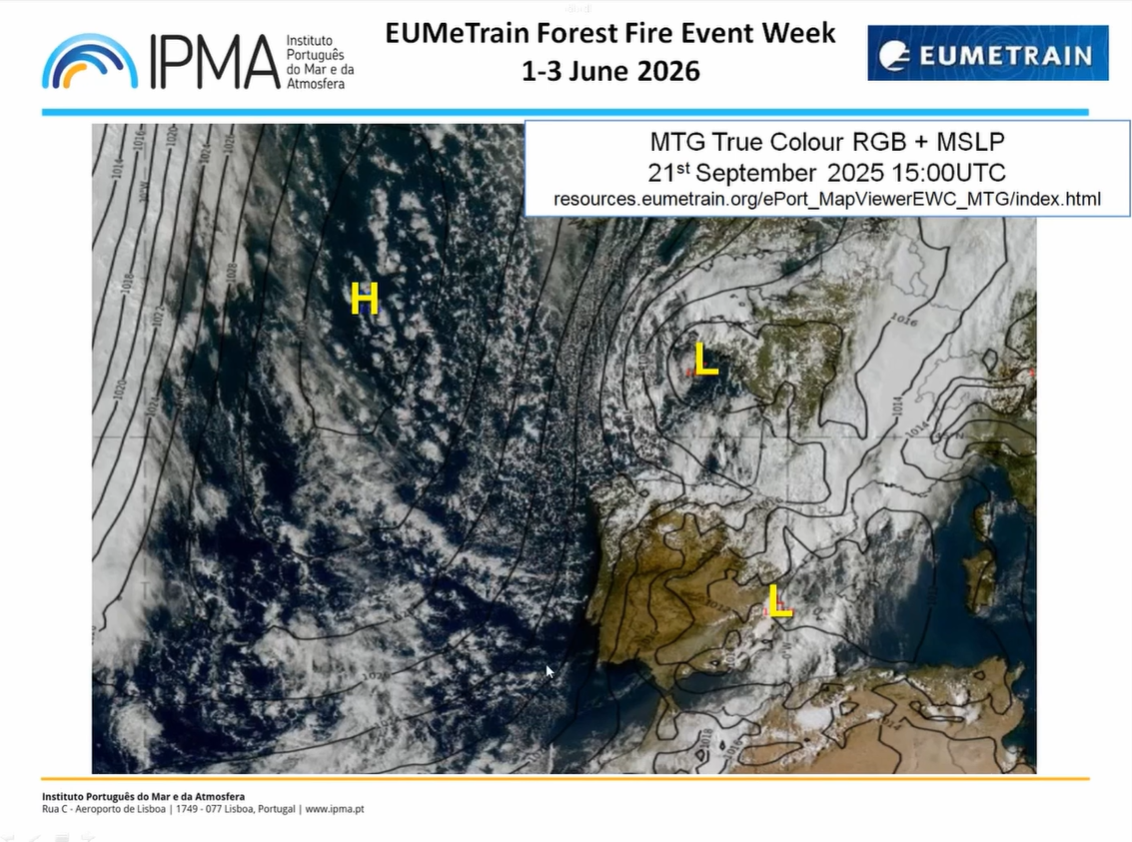
Bruno Café introduces satellite products used by operational forecasters for fire detection and monitoring, using the 2025 Portugal fire event as a case study.
This presentation explores the enhanced capabilities of the Flexible Combined Imager (FCI) sensor on board Meteosat-12 (MTG) for forest fire detection and monitoring. By leveraging better spectral, temporal, and spatial resolutions, we demonstrate how new RGB composites, specifically Fire Temperature and True Color RGBs, provide critical advantages in identifying hotspots, smoke plumes, and burn scars.
Sven-Erik Enno introduces the LI instrument and its use for fire detection, while Andrea Meraner provides a data analysis example of a fire related to lightning.
The Meteosat Third Generation (MTG) Lightning Imager (LI), declared operational on October 31, 2024, is a new European Instrument devoted to the real-time monitoring and characterization of lightning activity over Europe, Africa, the eastern part of South America, and a large portion of the Atlantic Ocean. This presentation will demonstrate LI's observational capabilities from hemispherical climatological statistics to local-scale forest fire events. In addition, we show examples of lightning-ignited fires as observed by LI and FCI, the multispectral imager onboard MTG.
Edouard Martins gives a brief introduction on the work of EUMETSAT and then focuses on monitoring thermal hotspots with Sentinel satellites.
EUMETSAT Central Facility (CF) is entrusted by the European Commission for the operational detection and monitoring of high thermal spots (wildfires, gas flares, volcanoes) from the Sentinel-3 (S3) satellites in Near Real Time (NRT), with emergency timeliness. The Copernicus S3 NRT Fire Radiative Power (FRP) observes global wildfires between 500 m and 1 km resolution, both at night and during the day. The public product is today under testing by the two Copernicus services dedicated to atmosphere monitoring and emergency management (CAMS and CEMS). Additionally, it is being completed by NRT quantification of pollutant observation from the Sentinel Constellation (S3 currently, S4 and S5 later on).
Anu-Maija Sundstrom talks about atmospheric composition data used to monitor emissions from forest fires.
This presentation provides an introduction to satellite-based observations of atmospheric emissions from fires provided by AC SAF. It highlights key satellite products used to detect and monitor fire-related pollution, including the Absorbing Aerosol Index from GOME-2 for identifying smoke plumes, carbon monoxide (CO) observations from IASI, and the potential use of other trace gases, including GOME-2 NO₂. Together, these measurements offer complementary insights into the composition, distribution, and evolution of fire emissions, supporting air quality monitoring.
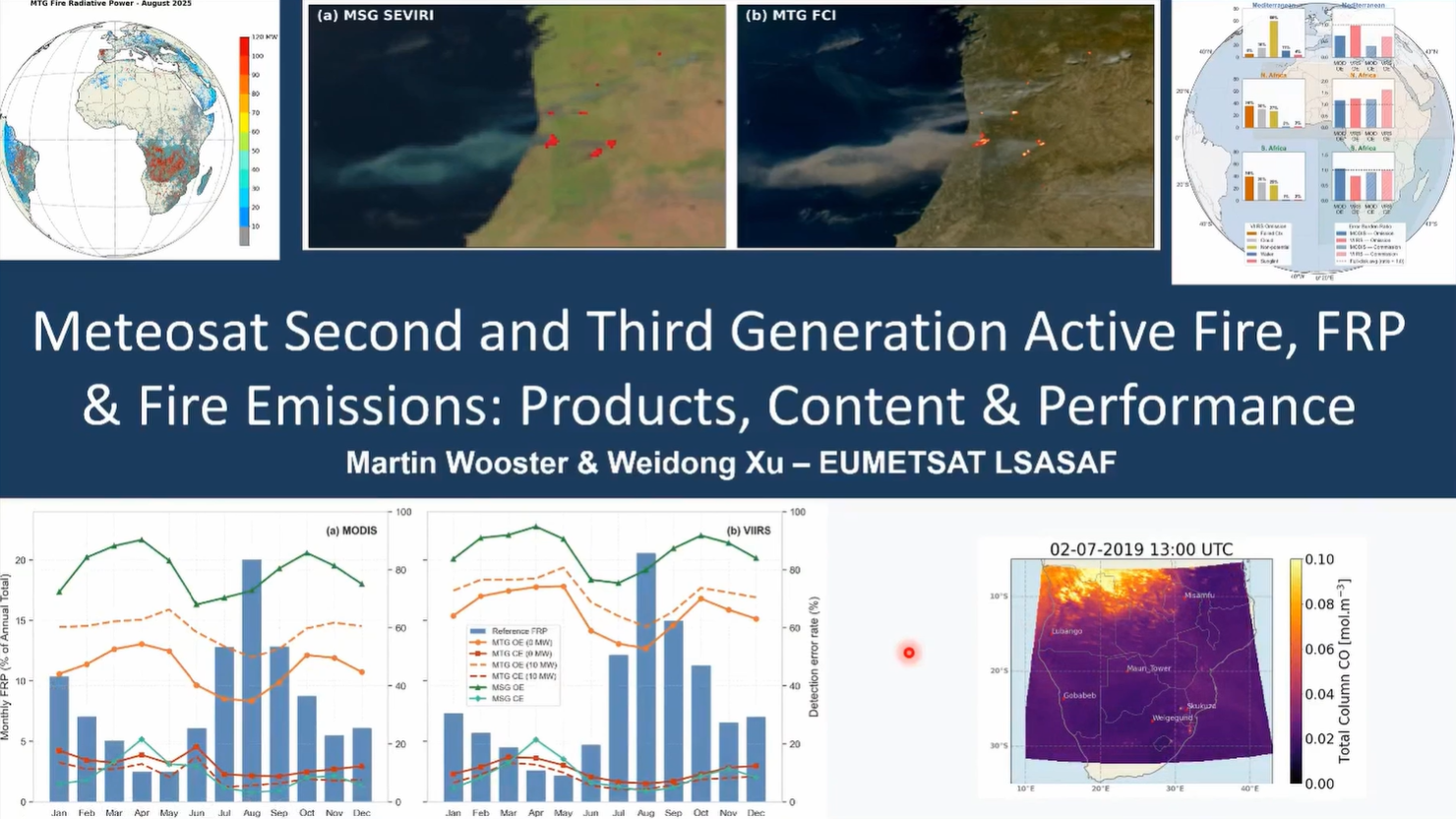
Martin Wooster discusses the LSA SAF Fire Radiative Power (FRP) product derived from geostationary satellite imagery and the improvements in active fire detection offered by MTG compared with MSG.
The session will cover the Geostationary FRP products from the EUMETSAT LSA-SAF that provide a record of active fire detections, fire radiative power (FRP) and smoke and carbon emissions over Europe, Africa and parts of South America, most recently from MTG with significant performance improvements compared to MSG. The methods used, the available products, and their performance will be reviewed in this session.
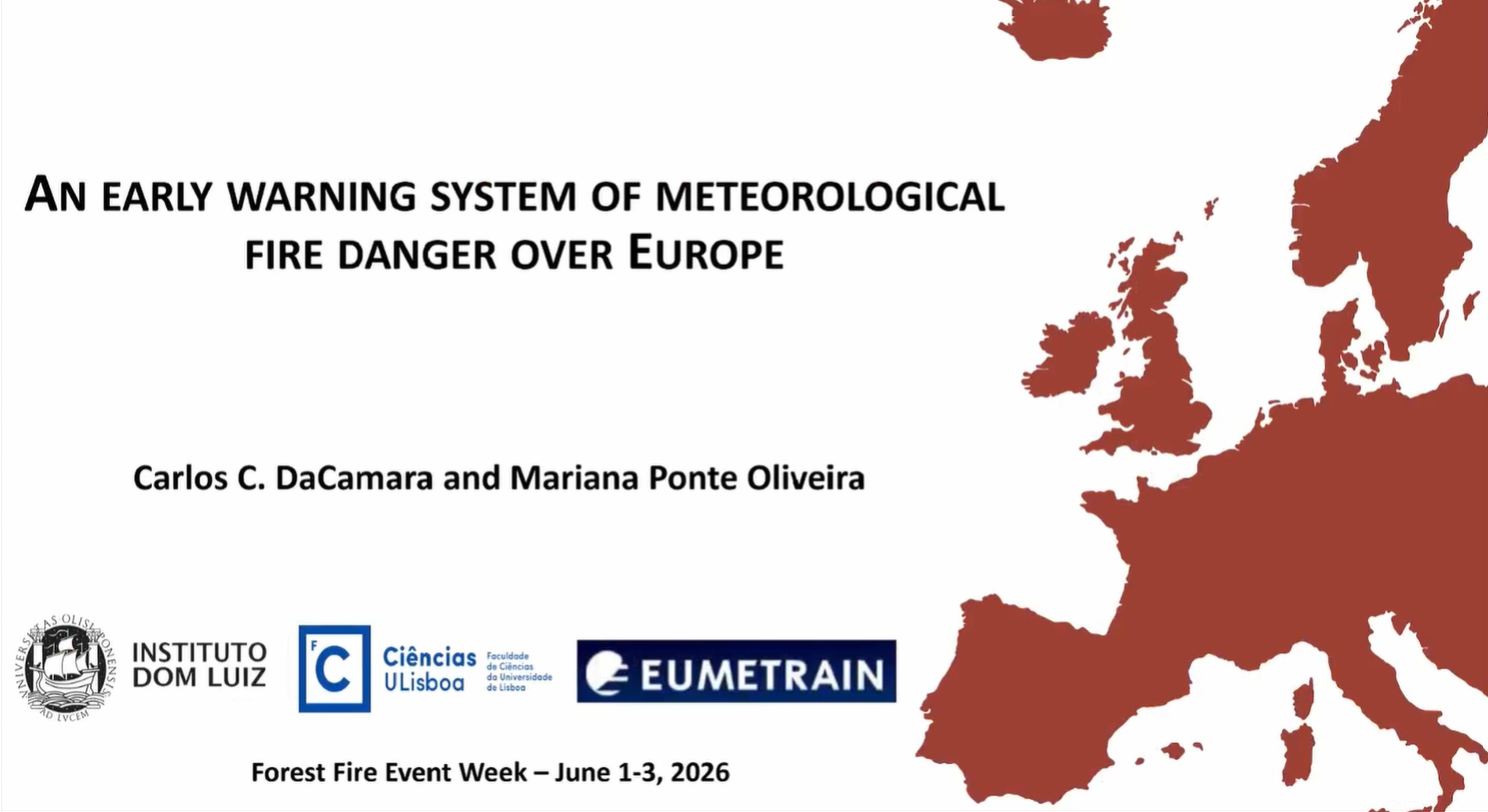
Carlos da Camara addresses the application of remote sensing for the development of an early warning system for fire danger.
In recent years, Europe has been affected by severe wildfires that are driven by vegetation stress and fire weather, and have severe impacts at social, economic and ecological levels. To assist fire managers and firefighters, the LSA SAF has developed an early warning fire danger system for Europe. The system relies on a set of regional models that provide forecasts of local meteorological fire danger based on statistical models of fire radiative power that use the so-called Fire Weather Index as a covariate. The rationale will be described in detail, and several case studies will be presented.
Célia Gouveia talks about LSA SAF vegetation data used for fire assessments and monitoring.
Fire-prone conditions and the impact of wildfires on vegetation dynamics and productivity are analysed using the land surface temperature (LST) and evaporatranspiration (ET and ETREF) and their impacts on vegetation and products such as Fraction of Absorbed Photosynthetically Active Radiation (FAPAR), Fraction of Vegetation Cover (FVC) and Gross Primary Production (GPP) disseminated by LSA SAF.
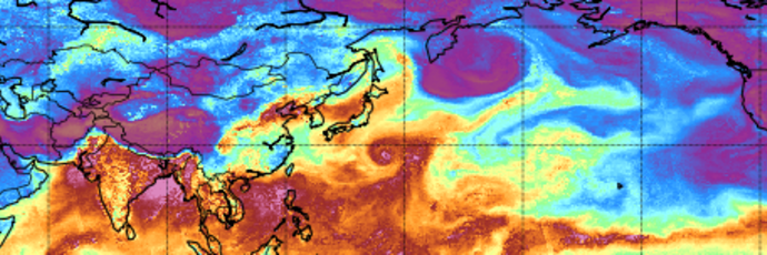
Have you ever wondered what an Atmospheric River is or how to recognize it in model or satellite data? The freshly released training module will assist you by guiding you step by step through the identification process.
First you will learn some basic facts on Atmospheric Rivers; how and where they are created, their typical characteristics and their appearance in satellite and model data. Step by step, you will then be guided through the identification process until you are certain that you are dealing with the phenomenon that is called an Atmospheric River.
Later stages of Atmospheric Rivers are sometimes tricky to identify as they are often merged with mid-latitude frontal systems. But here again, model fields and the timely evolution can give a precise answer whether there is an embedded AR or not.
And finally, it is well invested time going through this training module as ARs are responsible for many floods and heavy precipitation in Western Europe once they make a landfall.
The purpose of this Training Module is to provide step-by-step instructions for identifying Atmospheric Rivers.