
Opaque clouds
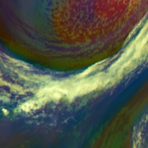
High reaching opaque clouds appear white in the Airmass RGB images. Lower clouds turn into red, green or blue depending on the air mass they lay within.
Frontal cloud bands and convective cellls depict in white in the Airmass RGB image. Fronts are located at air mass boundaries. Depending on whether an opaque cloud lays in a polar air mass or a tropical airmass, the white colour can turn into bluish or greenish. If a dry layer lays atop a cloud, its colour can turn into a redish-white.
Due to the presence of water drops and high humidity in all levels, the brightness temperature difference (BTD) WV6.2-WV7.3, which determines the red colour beam, is small. The scale for the red colour beam is chosen this way, that small BTD lead to large contributions of the red colour.
The green contribution is also large. As the measured radiation stems from the upper troposphere (cloud tops), the BTD between the window channel IR10.8 and the ozone absorption channel IR9.7 is small.
Measured radiance in the WV6.2 channel is low because a large part of the surface emitted thermal radiation has been absorbed by the cloud droplets. As the temperature range for WV6.2 has been inverted, the colder the measured temperature, the higher the contribution of the blue colour beam.
All three colour beams contribute with the same high amplitude to the RGB image. Embedded convective cells are recognised only by their specific shape, and not by their specific colour. Frontal systems typically depict in white tones.
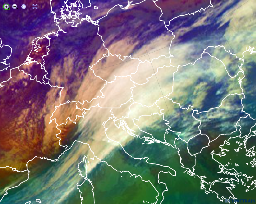
Airmass RGB for 3 Febuary 2016 12:00 UTC
Explanation of the colour of high opaque clouds in the Airmass RGB (see also the recipe on the left side):
• For high opaque clouds, all 3 colour beams contribute strongly. Therefore the resulting colour is white.
• Low/mid level clouds with a dry troposphere atop turn into a whitish red (see image above - France).
• Low/mid level clouds within the polar air mass turn into a whitish blue (see image above - northern Germany).
• Low/mid level clouds within a tropical air mass turn into a whitish green (see image above - Serbia).