
Assessing NWP with Water Vapour Imagery
Competency Framework
WMO Satellite Skills
Application
Description
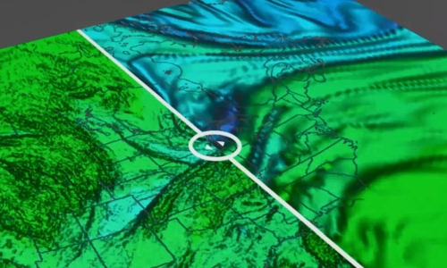
Bryan Guarante (University of Wisconsin) uses a COMET course to explain the usefulness of analysing water vapour images with a goal of assessing the NWP fields.
Content
In dynamically-active regions of the atmosphere, water vapour imagery approximates the same surface as the 1.5PVU height or pressure surface. Because of this, we can take advantage of the WV channels to find areas of mismatch between the NWP and the real atmosphere to adjust our synoptic scale forecasts.