
Snow detection for flatland (snow mask) by VIS/NIR of SEVIRI (H31), Snow detection (snow mask) by VIS/IR radiometry (H34) (using products from Jupyter notebook) - Part II
Kenan Bolat reports on H SAF snow detection product H34 that is derived from the SEVIRI instrument on-board MSG H34 differs for flat and mountainous regions.
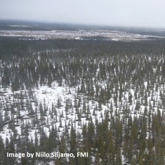
H34 is a snow mask product, which is retrieved from optical imaging radiometer Spinning Enhanced Visible and Infrared Imager (SEVIRI) mounted aboard the geostationary Meteosat Second Generation (MSG) satellite operated by EUMETSAT. MSG/SEVIRI provides continuous imaging of the earth in 12 spectral channels with a repeat cycle of 15 min. The imaging spatial resolution is 3 km at sub-satellite point and degrades to 5 km over Europe. The snow cover mapping is based on a multi-channel retrieval algorithm. It exploits the high reflectivity of snow in the visible spectrum and the low reflectivity at shorter wavelengths. The snow cover retrieval algorithm differs for flat and mountainous regions. Considering the different characteristics of snow for mountainous and flat areas, two different algorithms are used in producing the snow products for flat and mountainous areas, and then the products are merged to have a single snow product.