
Low level water clouds
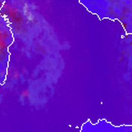
Low-level water clouds over water surfaces are light bluish, although often hardly recognisable in the Severe Storms RGB images.
The Severe Storms RGB was developed to highlight the characteristics of the thick ice clouds. Any other objects are just ‘background’. Detection of the water clouds is not important in this RGB type. Low-level water clouds over land are not even recognizable in the Severe Storms RGB images.
The figures below show some examples. The Day Microphysics RGB images (right) show much more clouds than the Severe Storms RGB images (left). Over land the low level clouds are missing from the Severe Storms RGB images. Over sea they are slightly brighter bluish than the water surface, see the encircled areas.
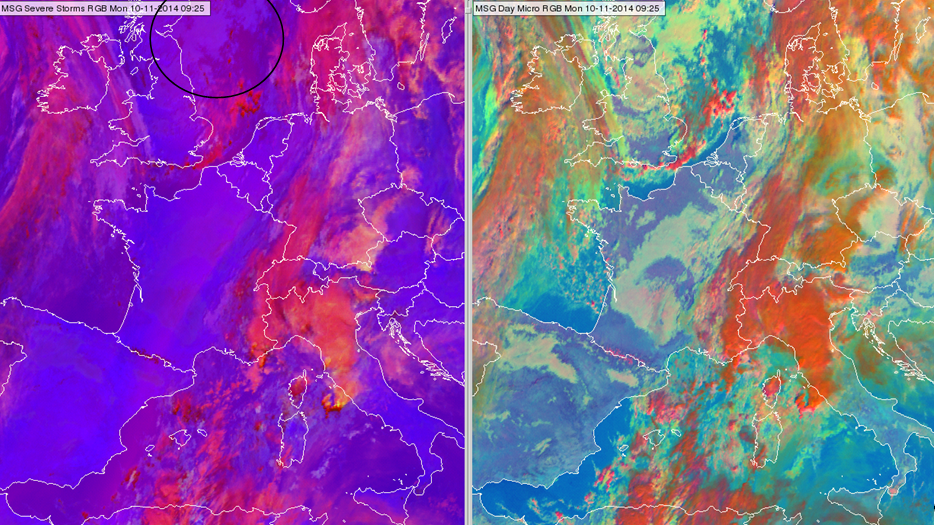
Meteosat, SEVIRI Severe Storms RGB image (left) and the Day Microphysics RGB image (right) for 10 November 2014 09:25 UTC
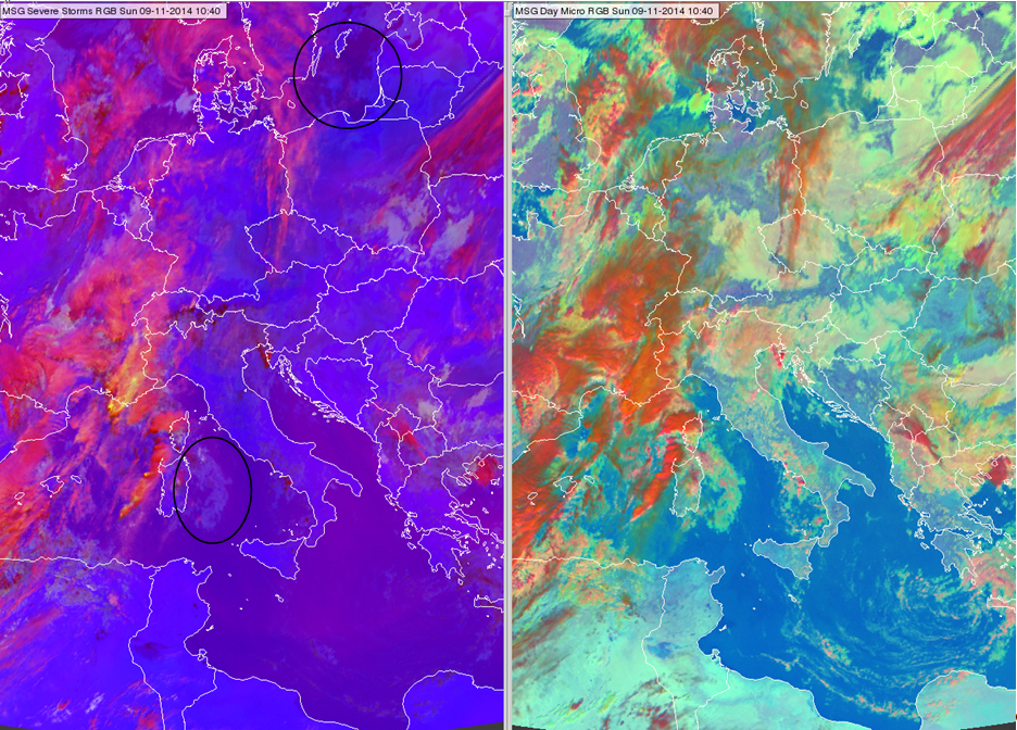
Meteosat, SEVIRI Severe Storms RGB image (left) and the Day Microphysics RGB image (right) for 09 November 2014 10:40 UTC
Note that the mid-level water clouds are well seen (in greyish colours).
Explanation of the colours of the low-level water clouds (see the recipe):
• In the (WV6.2-WV7.3) difference there is no information about low-level clouds. The radiation emitted from their surface is totally absorbed by the water vapour content above them.
• The (IR3.9-IR10.8) difference is definitely higher for low level water clouds than for cloud-free area. However, the gamma correction strongly decreases this contrast.
• The (NIR1.6-VIS0.6) difference is a little bit higher for water clouds than for the water surface. There is a weak contrast between them. (This difference is about the same for water clouds and land - no contrast.)
As a consequence the low level water clouds are only hardly recognizable over water surfaces, they are slightly brighter bluish.