
High-level, thick ice clouds with large particles on the cloud top - deep convection
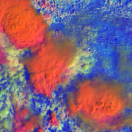
High-level, thick ice clouds with large particles on the cloud top appear red-orange in the MetOp AVHRR Day Microphysics RGB images.
The examples below show mature convective storms with large ice particles on the top. The thick storm cores appear red-orange.
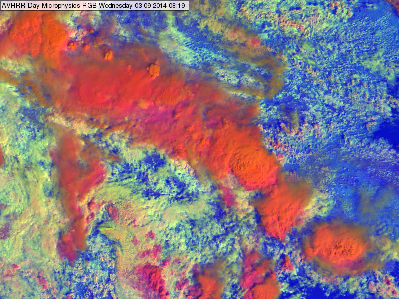
METOP AVHRR Day Microphysics RGB image of Romania and Bulgaria region for 03 September 2014 at 08:19 UTC
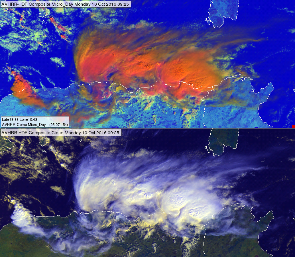
METOP AVHRR Day Microphysics RGB image (up) and AVHRR Cloud RGB image (bottom) at the Algerian coast of the Mediterranean Sea for 10 October 2016 at 09:25 UTC
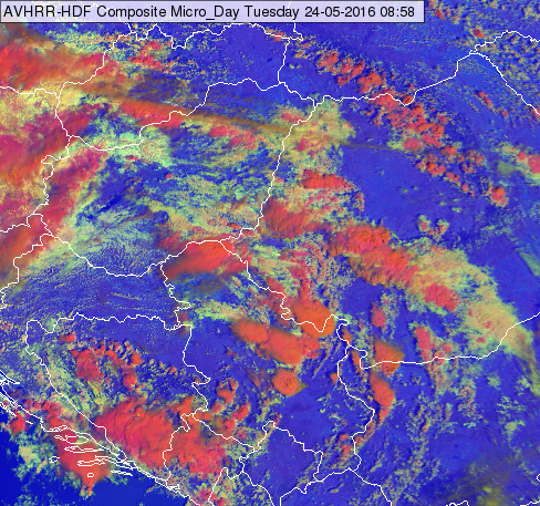
METOP AVHRR Day Microphysics RGB image of southern Central European and northern Balkan region for 24 May 2016 at 08:58 UTC
Note that:
• In case the ice cloud top is warmer (like developing or dissipating storms) the blue component becomes stronger, while the colour turns into magenta.
• In case the cloud top particles are small the colour turns into orange (in extreme case greenish).
• Towards the edge of the swath the red-orange colour may turns to orange.
Explanation of the colours of high-level, thick ice clouds with large particles on the top (see the recipe):
• VIS0.63 reflectivity is high for thick ice clouds
• The large ice crystals absorb strongly the 1.6 radiation and so they do not reflect much. The NIR1.6 reflectivity values of these clouds are less than medium in the 0-70% range.
• The IR10.8 brightness temperature is low for high-level clouds.
As the red component is high, the green component is (slightly less than) medium and the blue component is low, so the high-level, thick ice clouds with large particles on the top appear red-orange.