
Basic Satellite Course: Identify surface features
The course aims to give an overview on the basics of satellite meteorology: image analysis i.e. the interpretation of patterns in satellite images that are related to various meteorological phenomena. The course is asynchronous, which means that you can take it at your own pace as all the lectures are pre-prepared.
Quizzes are made for you to check your level of understanding.
In this module you will be able to identify geographical features and surface characteristics and conditions through images and satellite products. Although surface features are not the main purpose of meteorological forecasting, being able to identify and distinguish them from atmospheric features can be useful.
Note: all resources are provided as an external link which redirects you to https://eumetcal.eu where you will need to create a user account in order to gain access to the course. Once you register you can navigate through the modules inside the Moodle page.
In this module you will learn how to use satellite data to identify geographical features, surface characteristics and conditions.
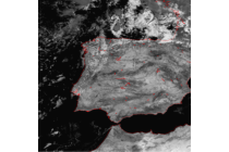 Land and Water
Learn how to discriminate between land and areas of water like oceans, seas, lakes, rivers or inlets.
To access the resource click here.
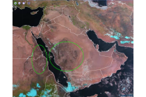
 Natural vs. human modified areas
Learn how to distinguish between natural and human modified areas
To access the resource click here.
 Vegetation free areas
Learn how to identify vegetation free areas as well as how to identify different types of desert surface such as sand or desert pavement.
To access the resource click here.
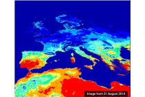 Drought and heatwaves
Learn how to identify areas of drought and heatwaves.
To access the resource click here.
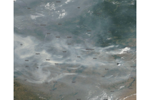
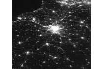
Hotspots
Learn how to identify hotspots.
To access the resource click here.
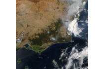
Areas of recent burning
Learn how to recognize burnt areas.
To access the resource click here.
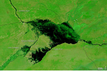
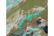
Areas of flooding
Learn how to recognize areas of flooding.
To access the resource click here.
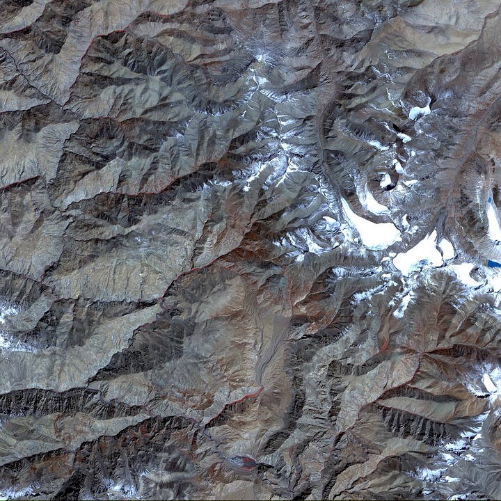
Cloud, Snow and Ice
Learn how to detect areas covered with snow, ice or cloudy areas.
To access the resource click here.