
Sand storm
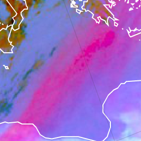
Sand storms and dust clouds depict in magenta in the Dust RGB images.
The large red contribution for sand and dust in the troposphere depicted in the Dust RGB is due to the fact that long wave radiation from the earth surface is stronger absorbed by a dust layer at 10.8 µm than in 12.0 µm (see image below). It is the other way round for thin ice clouds. A positive brightness temperature difference (BTD) leads to a high red contribution.
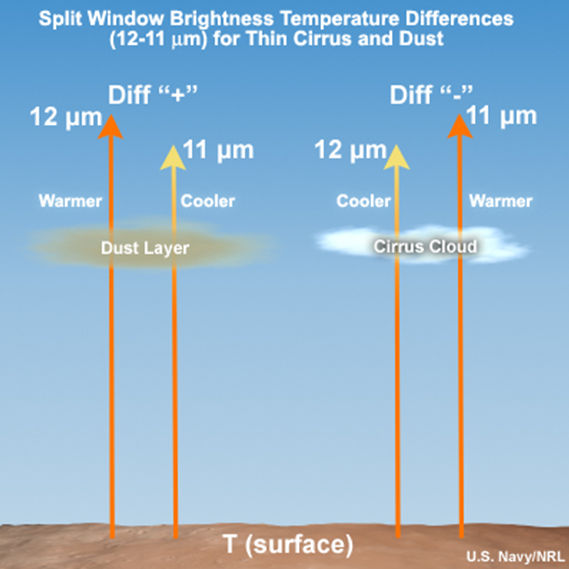
The BTD (IR10.8 - IR8.7) is rather small for aerosols like dust, this results in a low contribution of the green colour beam.
The blue contribution is high for warm and low clouds like dust. In the night, the suspended particles are cooler than during daytime; this results in a lower contribution of the blue component during the night . So, the night-time sand storm appears purple (intense red), whereas in daytime it would be magenta (red + blue = magenta).
The Dust RGB image below shows a long dust track from western Libya to Greece and Turkey.
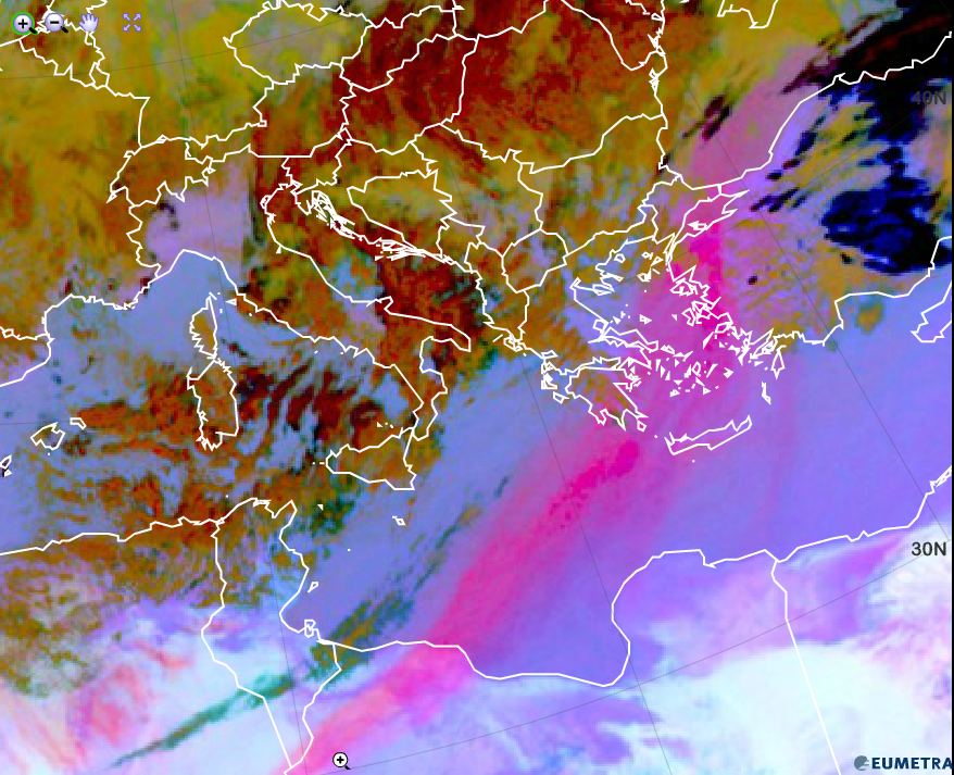
Dust RGB from 1 February 2015, 12:00 UTC
Explanation of the red colour of dust clouds in the Dust RGB (see the recipe):
• In case of a strong dust storm outbreak, a high red and a high blue contribution combine to magenta colour.