
Thick ice clouds
Thick ice clouds appear brown in the Ash RGB images.
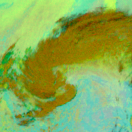
The image below shows frontal cloudiness and deep convective clouds.
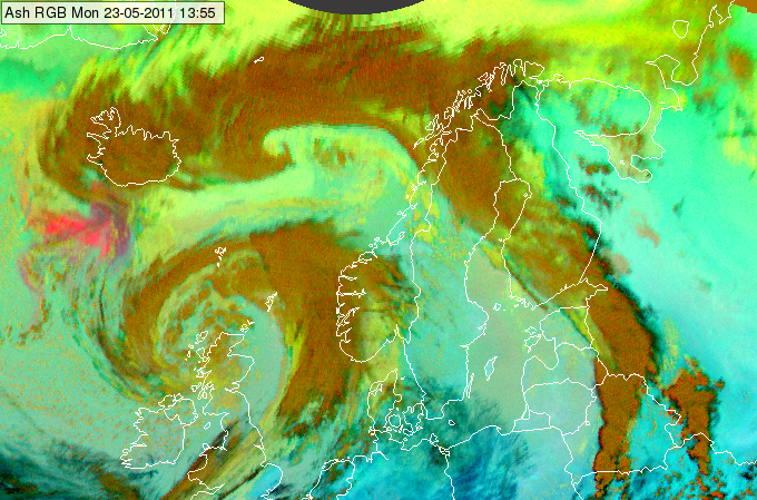
Meteosat, SEVIRI Ash RGB image for 23 May 2011, 13:55 UTC
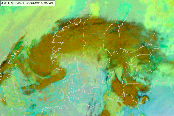
Meteosat, SEVIRI Ash RGB image for 02 September 2015 05:40 UTC
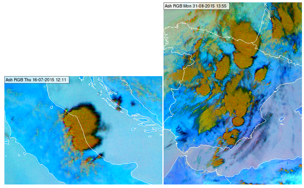
Meteosat, SEVIRI Ash RGBimages for 16 July 2015 12:10 UTC (left) and 31 August 2015 13:55 UTC (right)
Explanation of the colour of thick ice clouds (see the recipe):
• For thick ice cloud the brightness temperature values are close to each other in all three channels the Ash RGB is composed from. Both the (IR12.0 - IR10.8) and the (IR10.8 - 8.7) brightness temperature differences are around zero. However, the red signal will be higher than the green signal due to the different ranges of the linear stretching (see the recipe on the left).
• The blue signal is low, most often zero, as the IR10.8 brightness temperature of a thick ice cloud is usually less than the lower limit of the appropriate range (-30 Celsius degree).
As a consequence the thick ice cloud appears brown in the Ash RGB images.