
Mid-level water cloud
Mid-level water clouds are depicted in greyish colours in the Severe Storms RGB images.
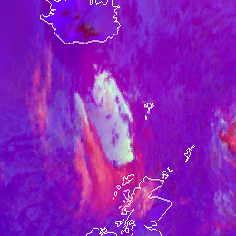
An example is shown below. The grey cloud in the Severe Storms RGB image (left) is seen in the (WV6.2-WV7.3) difference image (right) as well, indicating that it is a mid- or high-level cloud. The brownish colour of this cloud in the 24 hour Microphysics RGB image (right) indicates that it is a mid-level water cloud.
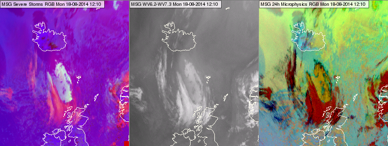
Meteosat, SEVIRI Severe Storms RGB image (left), (WV6.3-WV7.2) difference image (centre) and 24 hours Microphysics RGB image (right) for 18 August 2014 12:10 UTC
Note that the low-level water clouds seen in the 24 hour Microphysics RGB images (around Island) are hardly seen in the Severe Storms RGB images.
Explanation of the colours of the mid-level water clouds (see the recipe):
The mid-level water clouds are
• seen in the (WV6.2-WV7.3) difference image resulting medium to strong signal in the red colour beam.
• well seen in the (IR3.9-IR10.8) difference image too, resulting medium to strong signal in the green colour beam.
• Although they are not well detectable in the (NIR1.6 – VIS0.6) difference image, as the difference is close to zero both for water clouds and land/water surfaces, nevertheless the caused signal is medium to strong.
As all three colour components are medium to strong the resulting colour will be (close to) greyish.