02 December 2005/23.00 UTC
The flow over Western Europe and Mediterranean is under influence of deep surface low situated over the Great Britain. The surface trough
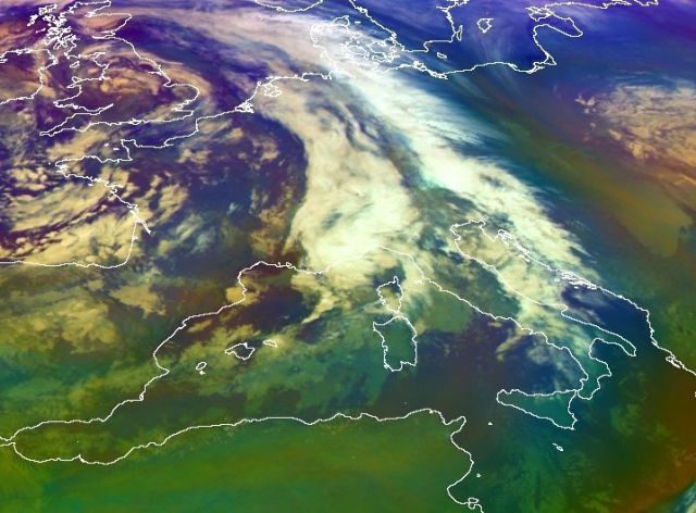
from West Mediterranean moved toward the east and in the Gulf of Genoa a cyclonic development begun which can be seen in the Meteosat 8 RGB
composite (Airmass RGB). The shallow cyclone moved over Mid-Adriatic further to the east and over land (Croatia and Bosnia and Herzegovina)
disappeared.
This is not so typical situation for the mistral. At the beginning, the dominant wind over Western Mediterranean was from south-west, and during the 3rd December, with transfer of surface trough and cyclonic development, it was from west, north-west.
This is not so typical situation for the mistral. At the beginning, the dominant wind over Western Mediterranean was from south-west, and during the 3rd December, with transfer of surface trough and cyclonic development, it was from west, north-west.