Introduction
Lee waves are a very common atmospheric phenomenon over land. The example before shows the large impact of lee waves and related turbulence on air traffic. The example also shows that lee waves are not always visible to the pilot or in satellite imagery. Atmospheric waves will be visible for the human observer only if the humidity of the air is near saturation and air temperature falls below the dew point due to lifting motion at the wave crest. Because of the varying amount of humidity in different atmospheric layers, lee waves will be visible only in those layers where the above conditions are fulfilled. Hence lee waves and turbulence are not restricted to the height of the characteristic cloud bands seen in satellite images but occur both above and below them.
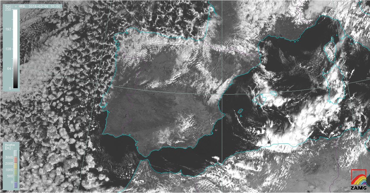
Figure 1: SEVIRI image loop from Meteosat 10 (high resolution visible (HRV) channel) on 10 February, 2016. Lee clouds developed over many places in southern Europe.