Authors
DHMZ
Tanja Gumhalter
Nataša Strelec Mahović
Dunja Drvar
Introduction
This study illustrates an interesting case of a cold front in cold advection, with two waves developing on the front. The cold front is a part of a deep cyclone which travels from North Atlantic to the eastern part of Europe in three days. The goal of this case study is to discuss the various phases of development and meteorological background of the cold front.
The process will be discussed by using numerical parameters combined with the satellite data. The basic physical background of the conceptual model
of the Cold Front in Cold Advection and substructures in fronts like Wave can be
found in
Satmanu
in the chapter "Conceptual Models".
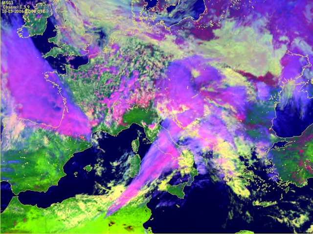
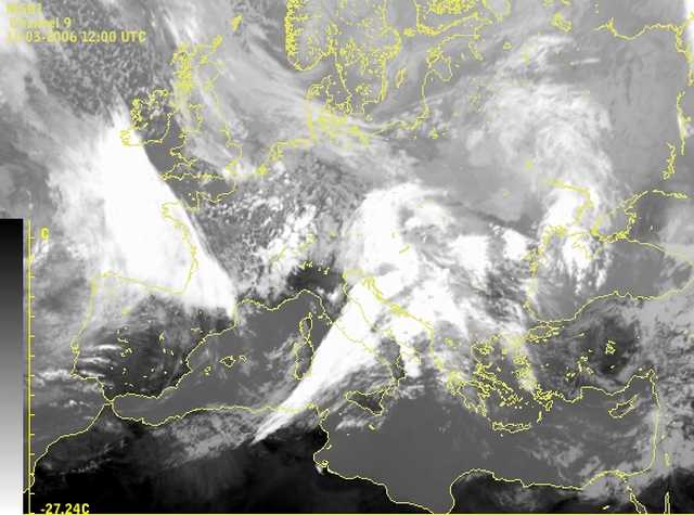
During the lifetime of the cold front, precisely on 10th of March 2006, two waves on the front could be observed. The first one occured in the early morning and developed into a cloud spiral. The second one, observed in the middle of the day, had a double structure and after some time weakened out. In the end of the day the whole system moved to eastern Europe.
In the following chapters the process will be illustrated by means of satellite images and relevant
parameter fields. The explanation of the underlaying physical processes will be presented.