ETT Model Fields 1800 UTC 07/08/2004
Isentropes
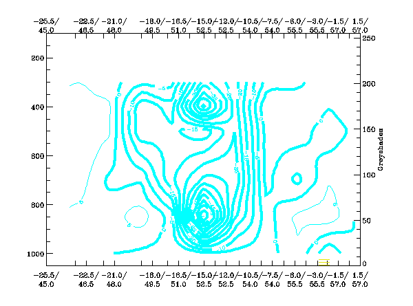
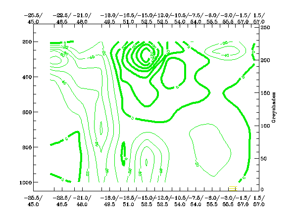
The isentropes θe show increasing mid-level instability to the northwest of the system. Within the main cloud band we see isentropic stable profiles. Within the cloud head we observe increasing instability at low levels extending to mid-levels.
The isentropes θe show increasing mid-level instability to the northwest of the system. Within the main cloud band we see isentropic stable profiles. Within the cloud head we observe increasing instability at low levels extending to mid-levels.
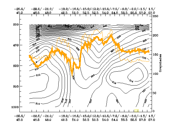
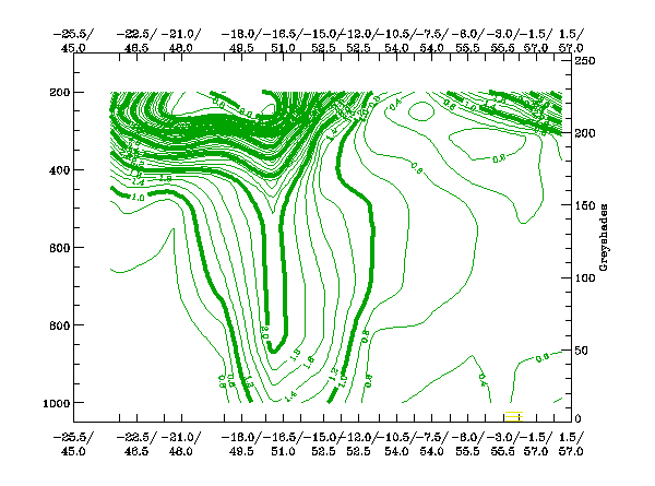
Orange thin: IR pixel values
Orange thick: WV pixel values
The high values in the IR image are clearly reflected in the pixel values in this cross section. The values of WV are lower than the IR values to the northwest of the system, this signal implies that no dry air is present at high levels in this area. We see lower WV values within the remainder of the cross sectional area, signifying an intrusion of drier stratospheric air especially within the hook of the storm.
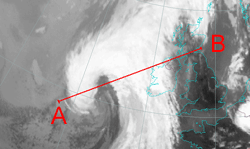
The VCS was laid from position A to B.